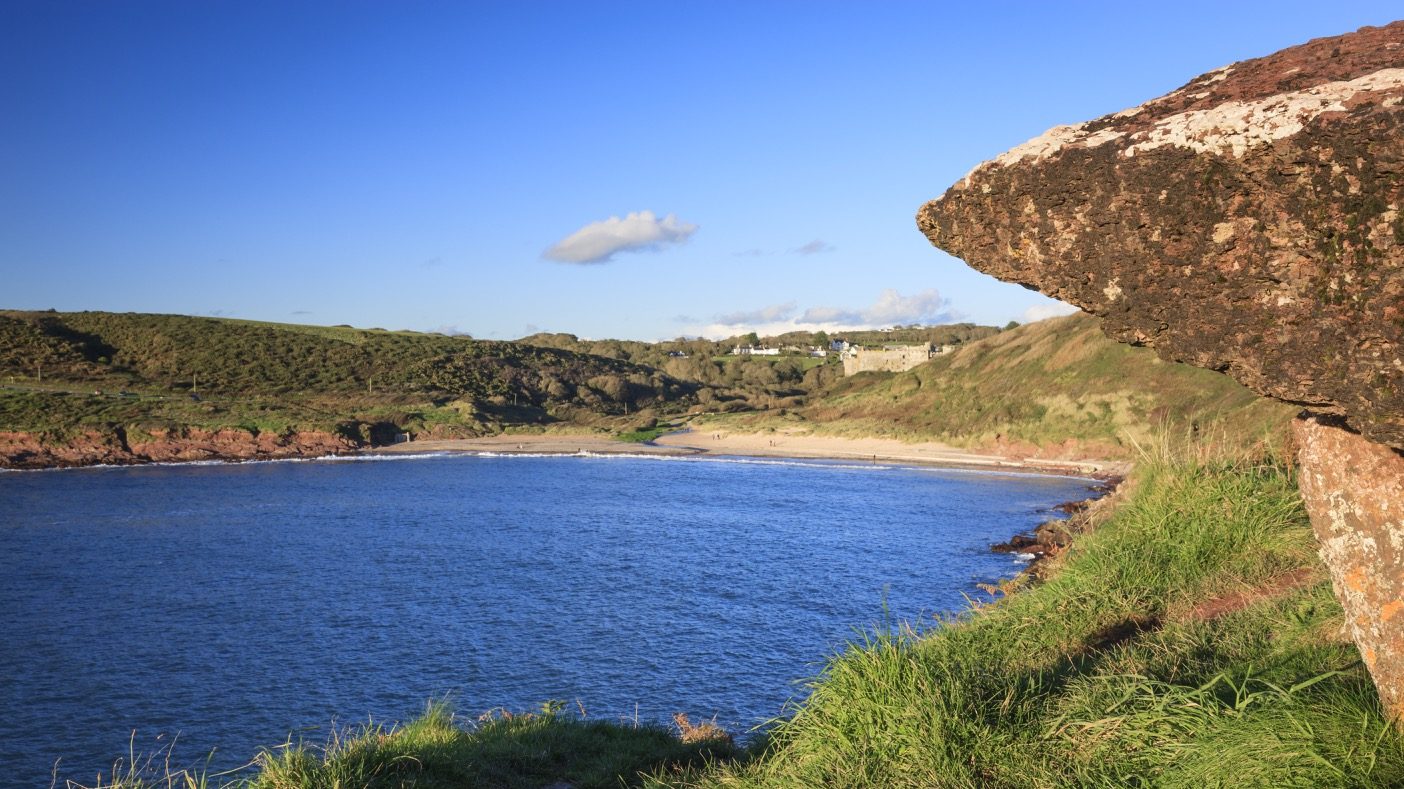
Manorbier, King’s Quoit
DISTANCE: 1.3 miles (2.0 km)
PUBLIC TRANSPORT: Service bus Manorbier 349, Railway station 1 mile north (SS069994).
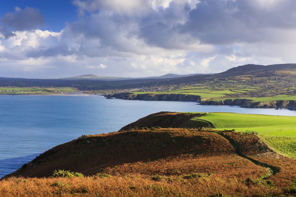
CAUTION: Deep, concealed fissure on Priest’s Nose headland – keep to public paths.
CHARACTER: Beach, coast, fields and livestock. No stiles. Steps, steep downhill section.
Leave car park on footpath in furthest left-hand corner when facing the beach. Follow gravel track to left over small stone bridge, then turn left through trees.
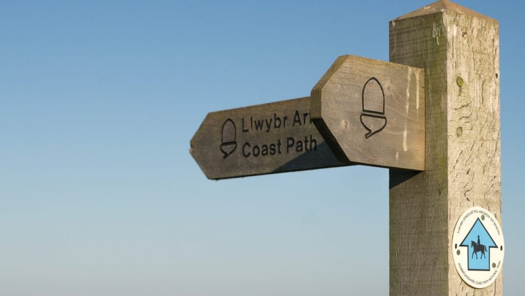
Follow path uphill, then turn right on to road and at church continue straight ahead. Turn right at top (signed ‘to the Coast Path’), and follow obvious path.
At waymark post, bear left, going uphill. Path soon goes down steep slope to Coast Path.
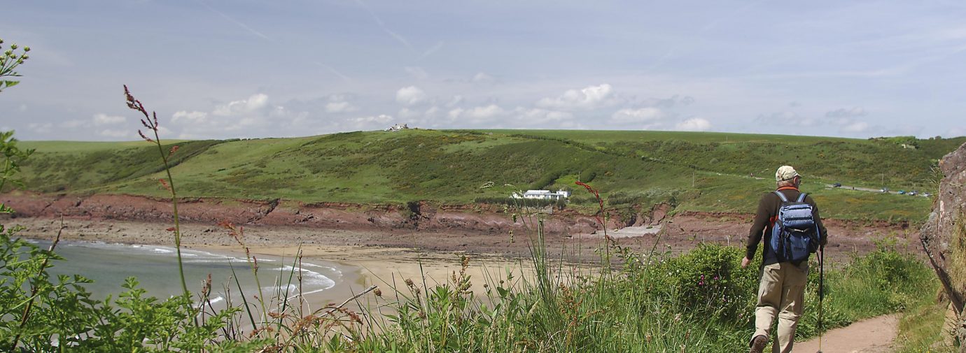
Turn right on to Coast Path, past King’s Quoit cromlech, and follow path down to beach. Cross beach and turn right back along main track to car park.
MANORBIER BAY
DISTANCE: 0.9 miles (1.4 km)
PUBLIC TRANSPORT: Service bus Manorbier 349, Railway station 1 mile north (SS069994).
CHARACTER: Fields and livestock, some gradients. No stiles.
Turn left out of car park on to road and follow it uphill. At top, just before house called Atlantic View, turn left and follow path through gap in scrub.
Turn left on to Coast Path. Follow Coast Path through garden of the Dak and a short distance up the drive.
Turn right on to footpath and, before reaching parking area, turn right on to path through scrub. At far end of parking area, turn right on to waymarked path down to beach.
Cross stream over bridge ahead and turn left to car park, along main track.
MANORBIER CASTLE
DISTANCE: – 0.8 miles (1.3 km)
PUBLIC TRANSPORT: Service bus Manorbier 349, Railway station 1 mile north (SS069994).
CHARACTER: Fields and livestock, some gradients. No stiles.
Turn left out of car park on to road, then turn right on to metalled lane. Follow lane, through gates on to grassy path bearing right.
At fork, take lefthand path going slightly uphill, then through gate into woods. Turn right upon reaching metalled drive and, before cattle grid, turn right at fingerpost.
Go through castle gateway, then at fork take right-hand path going downhill. Follow path back up hill through gates and turn left on to castle drive.
Turn right on to road and right again, back to car park.
MANORBIER, LIMEKILN
DISTANCE: 0.9 miles (1.4 km).
PUBLIC TRANSPORT: Service bus Manorbier 349, Railway station 1 mile north (SS069994).
CAUTION: Deep, concealed fissure on Priest’s Nose headland – keep to public paths.
CHARACTER: Fields and livestock, minor road walking, can be muddy in places. 3 stiles
Turn right out of car park on to road, bear right at T-junction and right again at Castle Head Hotel down no-through road, which becomes a track.
At fork, take left-hand track and, after crossing stile, turn left uphill. Follow path initially, with fence on left, then across field, aiming for stile under large tree ahead.
Continue straight on after stile, aiming for fingerpost on corner of boundary with house and garages opposite.
At fingerpost, continue across field towards metal gate and stile. Cross stile and turn left on to road. Follow road down into village, turning right at T-junction by Castle Head Hotel, then straight on back to car park.
Find these Walks
Grid ref: SS059971
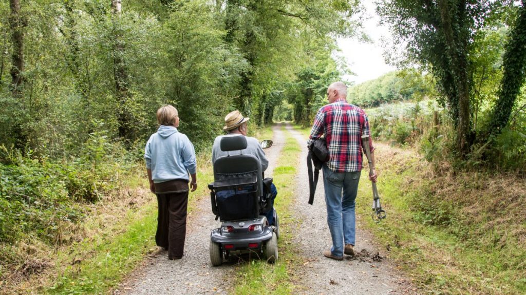
SAFETY FIRST!
- Take great care when on the Coast Path
- Stay on the path and away from cliff edges
- Wear boots and warm, waterproof clothing
- Take extra care in windy and/or wet conditions
- Always supervise children and dogs
- Leave gates and property as you find them