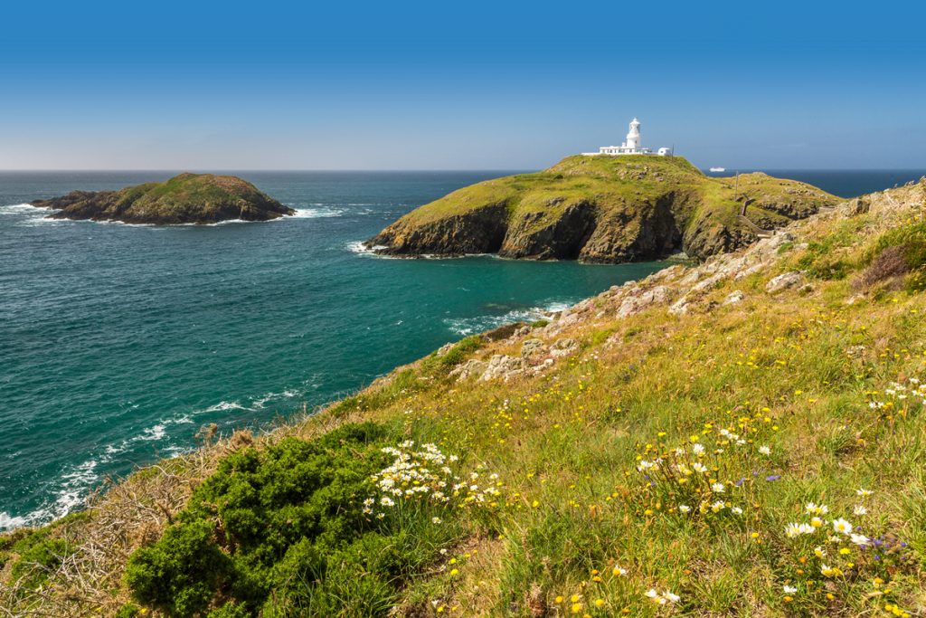
Pembrokeshire’s landscape is forever being photographed and painted, appreciated by the walker and artist alike. If you visit Oriel y Parc Gallery and Visitor Centre in St Davids you will be faced with many varying interpretations of a world-class landscape visited by millions. But what has created this landscape?
The map below of Pembrokeshire’s topography may look rather complicated but it can be broken down into bits which can be easily explained. It would be too time consuming to explain everything, so we’ll focus on some obvious features.
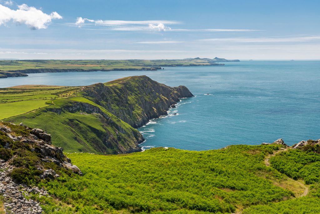
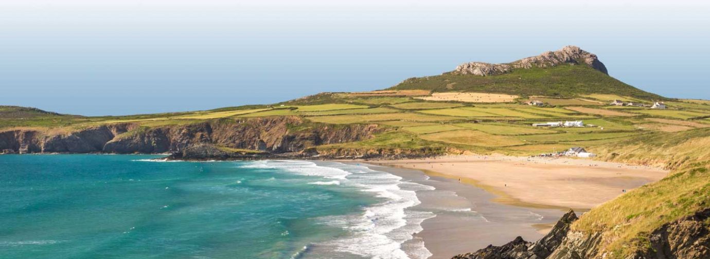
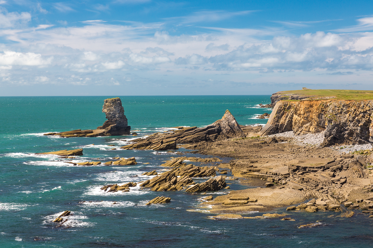
For example, there are many places in Pembrokeshire where the landscape looks very flat when viewed from a distance. This is more obvious in the Bosherston area and around the coastline of St Bride’s Bay, particularly the Dale, Marloes and St David’s peninsulas.
A careful study of a contour map shows that the heights of some of the more prominent ridges that rise above the coastal plateaux are in close groupings, and could be isolated remnants of several higher and older plateau landscapes.
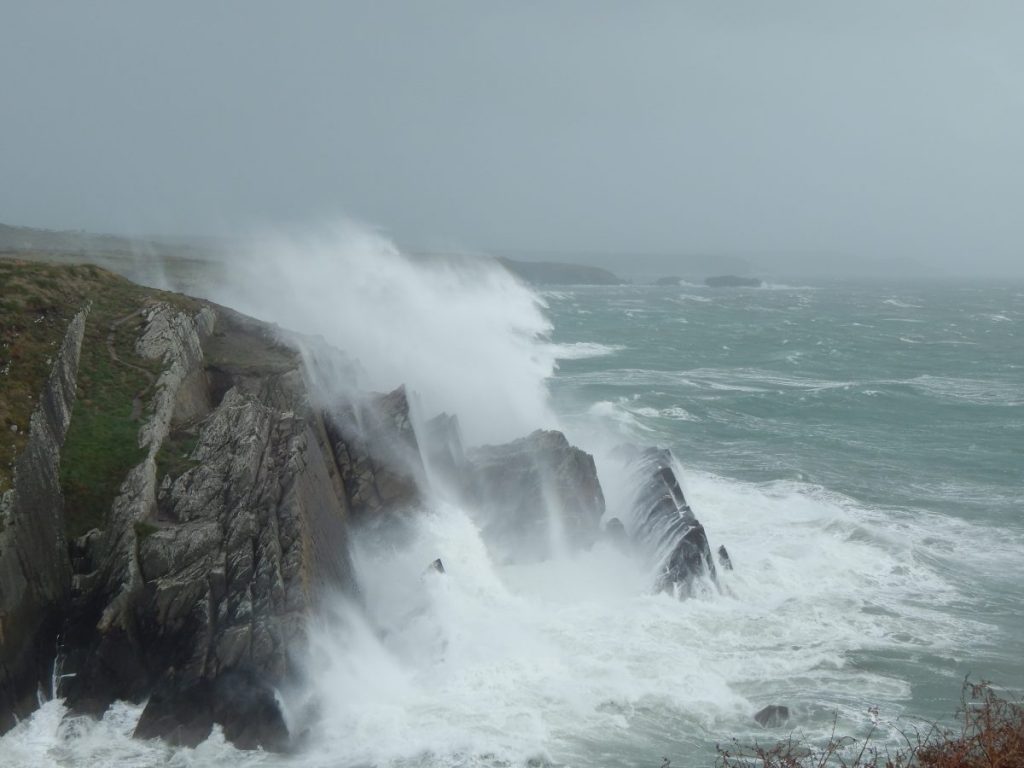
Although there’s still some debate, most geologists now think that these surfaces were formed by marine erosion in the same way that wave-cut platforms are developing around the present coastline. So that means that waves may have been crashing against the sides of Carn Llidi!
The question is, how could the sea level have been so high?
If all the ice cover melted (including the great thicknesses in Greenland and Antarctica) the sea level would only cover the lower plateau (60m above present sea level).
Towards the end of the Cretaceous Period (about 70 million years ago) climatic conditions appear to have reached a state referred to as ‘Greenhouse Earth’ with no ice cover.
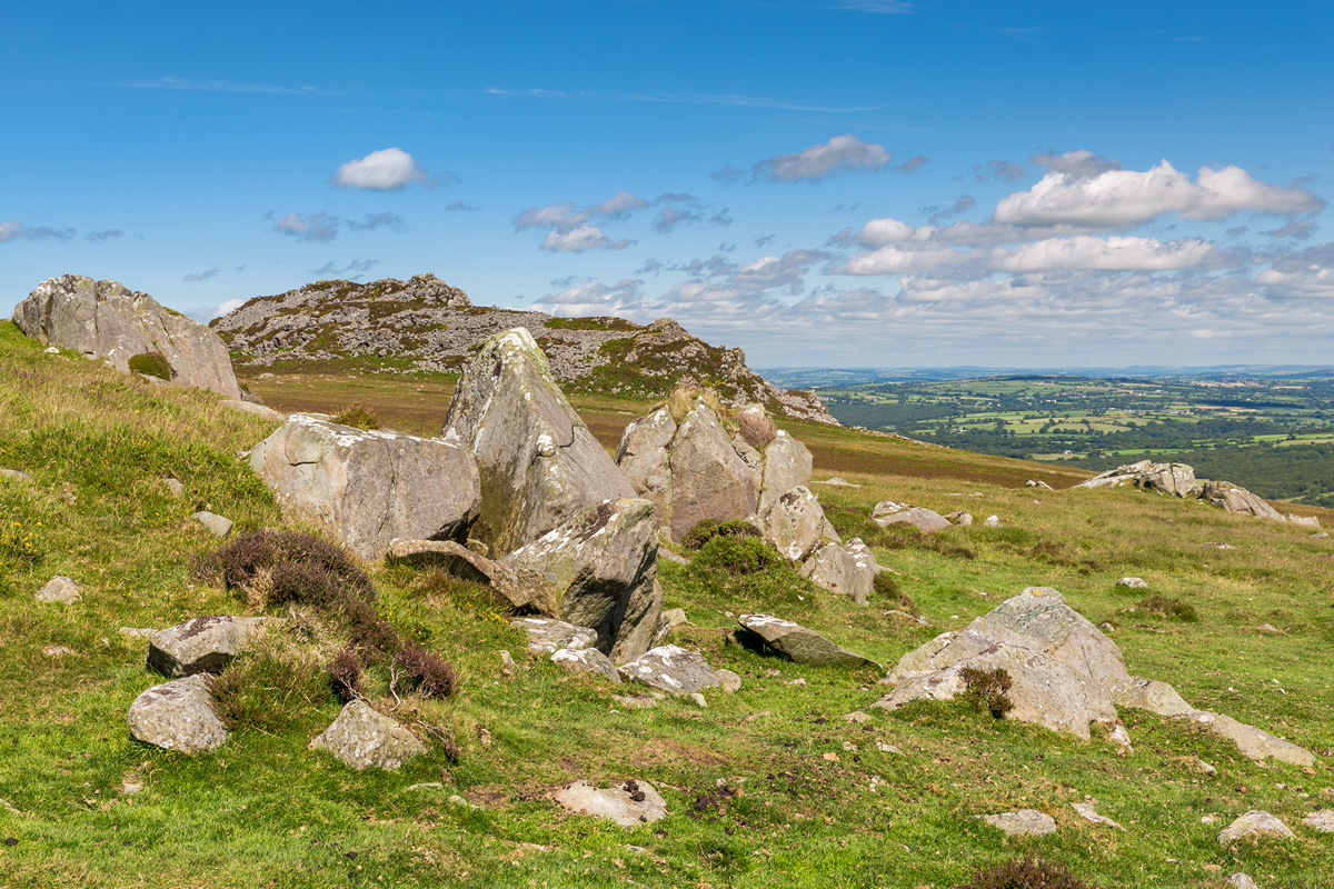
But how could the higher surfaces, such as the one surrounding the Preseli Hills, have been formed?
Changes in sea level relative to land can be caused by tectonic forces (movement of the ‘plates’ that make up the Earth’s crust) so it seems that the land surface must also have been uplifted. Another contributing factor could be that the deep ocean basins reduced in volume so seawater was gradually pushed out over continental shelves.
The plateaus and ridges have all been bevelled by passage of ice sheets (causing a reduction in height westwards) and deeply dissected by rivers, especially when their flow was massively increased from melting ice. In many cases, it seems that the meltwater was initially flowing beneath the ice. This happens when water from the surface of the ice flows down through crevasses into ice caves, creating sufficient water pressure to allow uphill flow along some sections.
These effects are very obvious in the Milford Haven Waterway, often described as a ‘drowned river valley’ or ria. Although post-glacial rise in sea levels did flood this area, the profiles of the river valley had been greatly altered by meltwater, creating what is now the deep water channel of Milford Haven and the basins and shelves in the bed of the Daugleddau Estuary.
In South Pembrokeshire, as well as the limestone plateau, there is a well developed series of ridges and vales (see topographic map) which closely reflect the underlying geology. The high ground is all developed on the Old Red Sandstone which has resisted weathering and erosion better than the other rock types. So as you can see, Pembrokeshire has a pretty colourful past that is still partly shrouded in mystery.