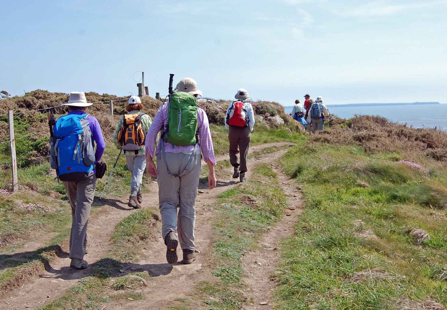
On May 28 2005, the Countryside and Rights of Way Act 2000 introduced a new Right of Access on foot to large areas of countryside in Wales. This right of access has been dubbed the right to roam, as walkers are now able to wander freely within designated areas of countryside rather than confine themselves to paths.
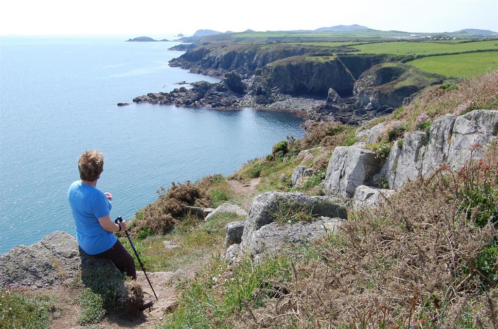
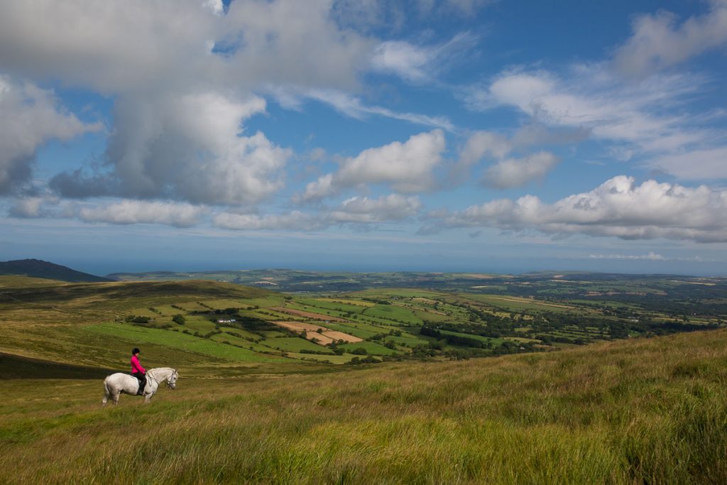
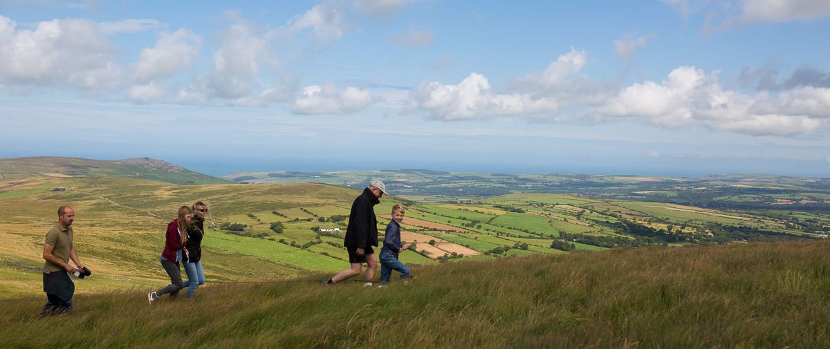
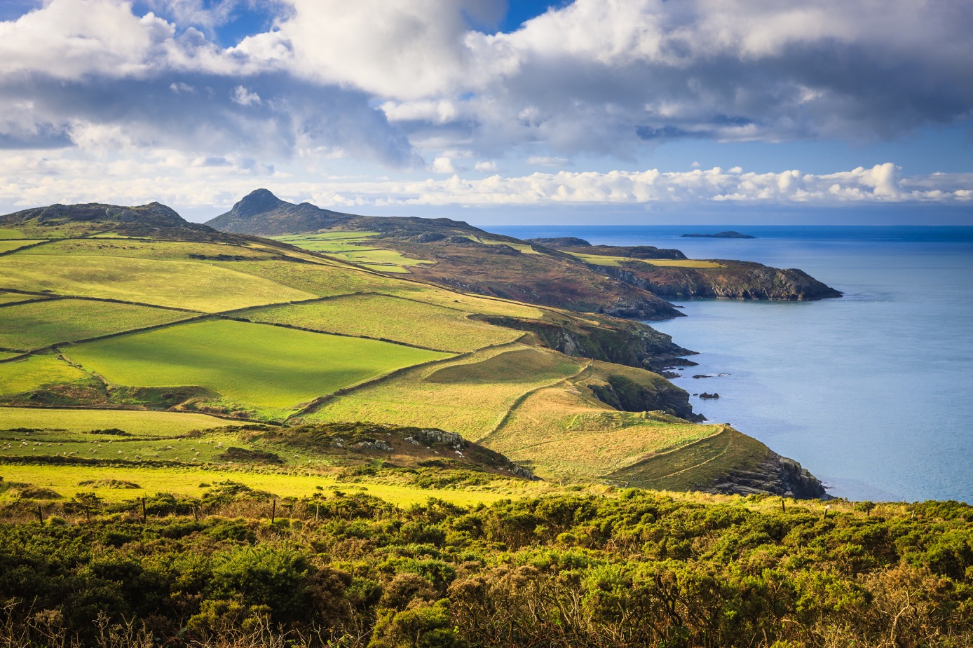
The Act provides a right to walk on open country (defined as moor, mountain, down and heath) as well as on registered common land. These together are known as Access Land, which is usually unenclosed and uncultivated land, like the Preseli Hills and the heathland on the St Davids Peninsula. The new right of access provides visitors with the opportunity to walk and explore the lesser known and visited parts of the National Park, characterised by a landscape largely untouched by intensive agriculture and rich in archaeological remains.
Right to roam may seem to imply that people can walk anywhere they want in the countryside. However, this is clearly not the case as Access Land only makes up 10% of the National Park. There is no right of access to the countryside in general. The legislation does not apply to built-up areas, farmyards, gardens, woodland and cultivated fields. In order to make it absolutely clear where people may walk, maps of open country and common land have been produced by Natural Resources Wales.
Frequently asked questions
What did the Countryside and Rights of Way Act do?
It has given people the right to walk across miles of privately owned moor, heath and common land, which is collectively known as Access Land.
Such areas are characterised by rocky outcrops and moorland with heather, gorse, bracken and rough grassland.
Does it mean we can walk wherever we want?
You’re welcome to walk on Access Land but there is no “right to roam” across the countryside in general.
Most of the countryside of the National Park is not affected by the new access rights and walkers will need to keep to public paths.

Where can we walk?
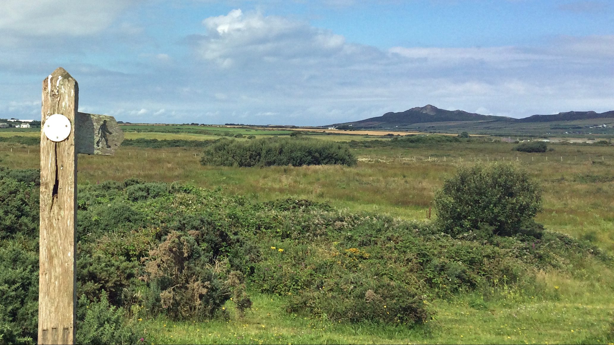
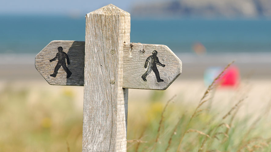
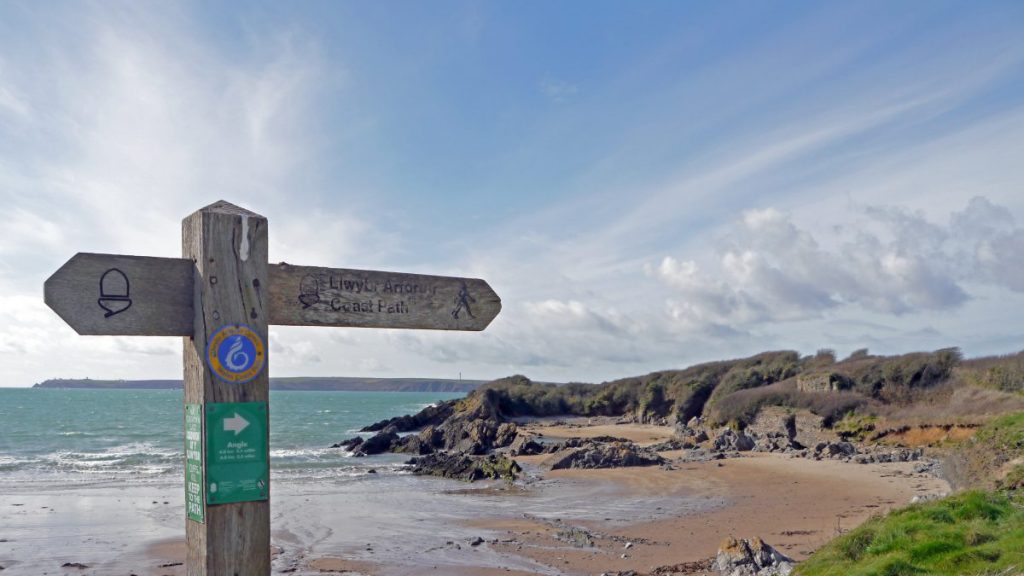
Wherever you see the open access symbol – a walker in dark brown on a white background.
The Access Land in the National Park amounts to 6,000 hectares (representing 10% of the National Park) and is mainly to be found in North Pembrokeshire, in areas such as the Preseli Hills.
How do we find out which areas are designated as Access Land?
The land is shown in a light yellow shading on the most recent Ordnance Survey 1:25000 maps (Explorer series).
Up to date maps of Access Land are available at Information Centres, National Park Authority and Council offices; A map showing access land for the whole of Wales is available via the DataMapWales website.
What can we do on Access Land?
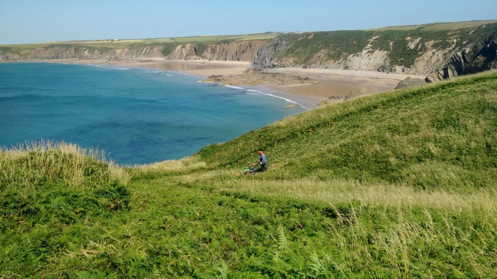
Anything on foot – walk, run, climb, picnic (though not camp, light fires or leave litter), take photographs, paint, explore historic remains, watch wildlife – and above all appreciate the views of this impressive landscape. Vehicles and motorcycles must not be driven on Access Land.
Can we take a dog?
Yes, in many areas, under close control – though from 1 March to the end of July dogs must be on a short lead so that animals and ground nesting birds are not disturbed. Some areas, however, may temporarily be closed to dogs at all times – signs on site will tell you.
Is the Access Land available for walkers all the time?
Access land can be temporarily closed or access restricted to certain paths for reasons of land management, nature conservation or fire hazard. Signs are in place to advise walkers and restrictions must be observed as they are generally designed to protect ground nesting birds and sheep that may be lambing. Such temporary restrictions are, however, very rare.