DISTANCE/DURATION: 1.3 miles (2.2 km) 45 minutes each way.
PUBLIC TRANSPORT: Service bus Solva T11. The operator of Service 400 (Puffin Shuttle) cancelled this service from 5 April 2023. In the meantime, the area is part of the North Pembrokeshire Fflecsi Bus scheme (opens in new window).
CHARACTER: Stile-free walk, easy to moderate grade, tarmac footpath 100m, minor road 400m, grassy lane and cliff edge.
Park at the lay-by in Upper Solva opposite church. Cross the road, turn left, past the church and turn right, walking by the old Post Office.
Continue up the road, which has a slight gradient, and bear left to St Brides View. Take the right fork and continue straight on past a number of guest houses.
When the tarmac stops continue along a grassy track, which has gradients of 1:10 up and downhill for 55m.
At the end of this path is a gate, leading into a field. Keep to the field edge and pass through another gate onto the Coast Path.
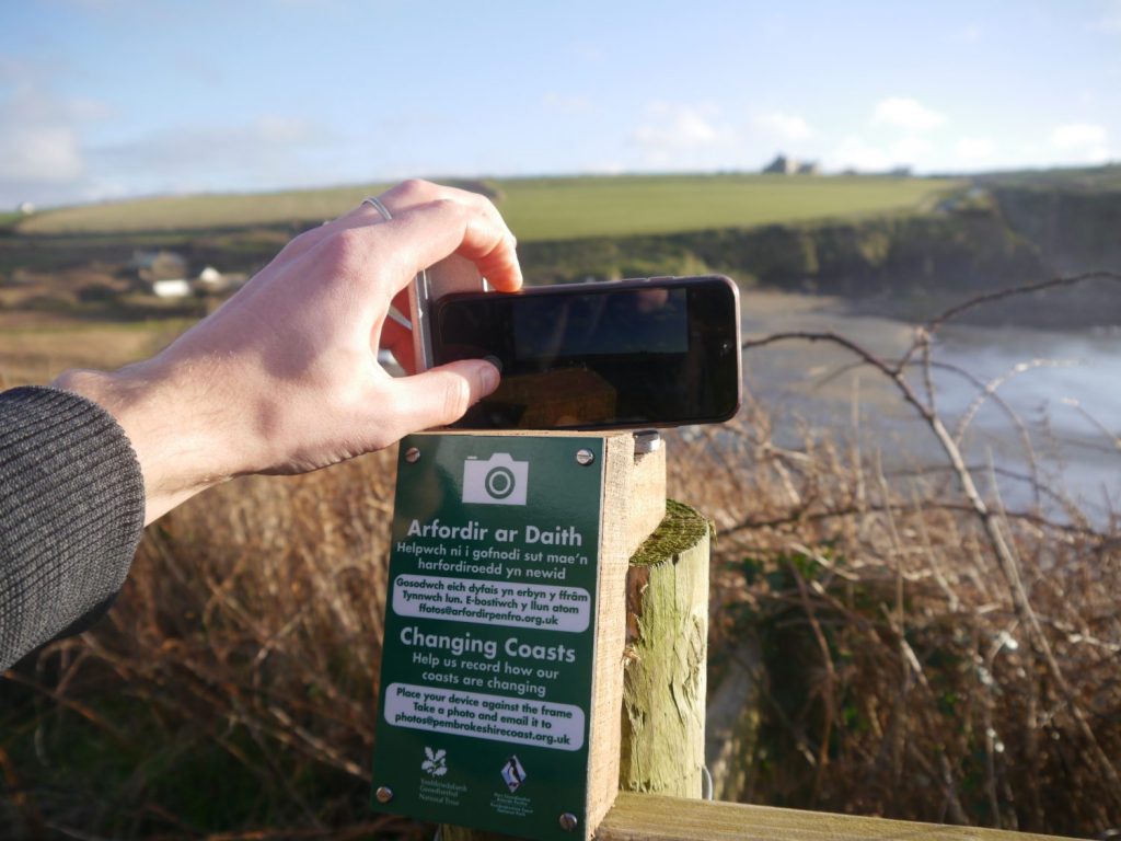
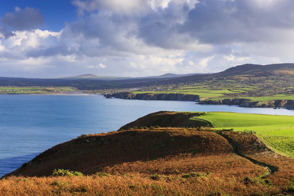
At the viewpoint you can see Lower Solva and the harbour. The small bay opposite is called the Gwadn and there are fine views of the cliffs on the far side.
Continue along the Coast Path. This is generally level apart from some slight to moderate slopes of 1:25 uphill for 75m, 1:20 uphill for 45m and, towards Porth y Rhaw, a descent of 1:20 for 500m.
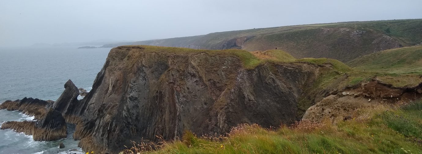
Approaching Porth y Rhaw note a large Iron Age fort that has been subject to extensive archaeological excavation as it is steadily crumbling into the sea.
The descent to Porth y Rhaw is very steep at 1:8 and can be very slippery.
Find this walk
Grid ref: SM791237
SAFETY FIRST!
- Take great care when on the Coast Path
- Stay on the path and away from cliff edges
- Wear boots and warm, waterproof clothing
- Take extra care in windy and/or wet conditions
- Always supervise children and dogs
- Leave gates and property as you find them