DISTANCE/DURATION: 1.7 miles (2.7 km) 1 hour 30 minutes.
PUBLIC TRANSPORT: Please visit the Pembrokeshire County Council website to check the latest bus route and timetable information (opens in new window).
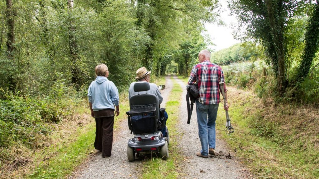
CHARACTER: Coast, cliff slope, woodland, fields and livestock, 0.7 mile (1.2 km) minor road walking. Can be challenging in places, some steep gradients, steps and 1 stile.
LOOK OUT FOR: Iron Age fort, ruined limekiln, wooded bay, Victorian fort and views up Milford Haven Waterway.
The Dale Peninsula is largely treeless but this route takes in long slopes down to the sea that are unusual for being heavily wooded. These days busy Dale is a popular location for sailing and windsurfing but the village has a long sea-faring tradition.
In the 16th century it was one of Pembrokeshire’s most important ports and had a reputation as a smugglers’ hideout, while ships were still being built at Dale in the 1850s.
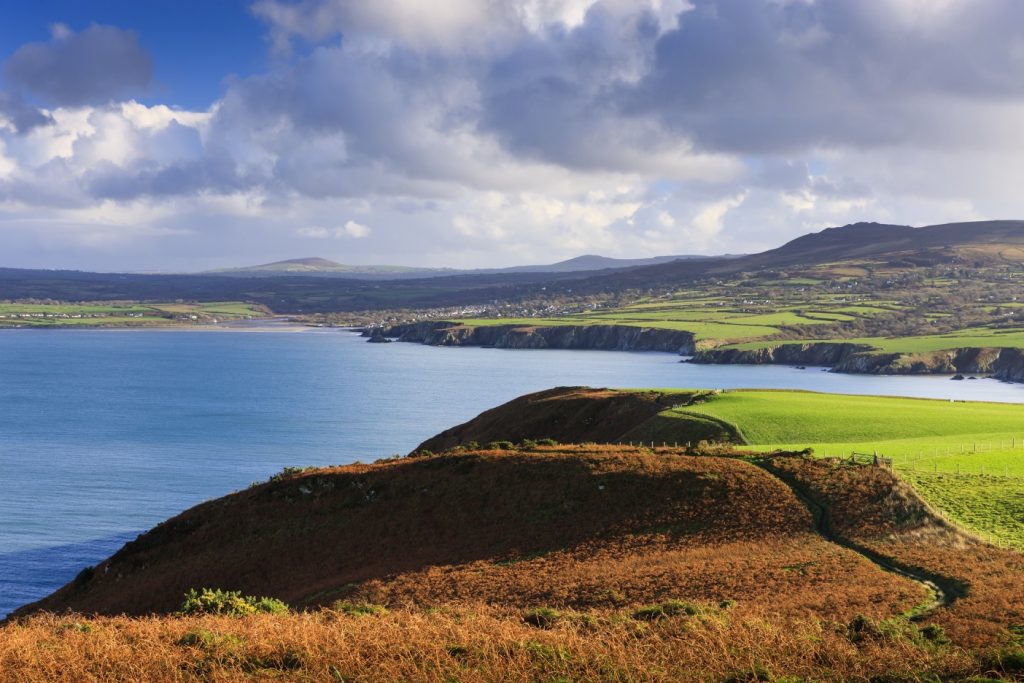
Dale Fort offers excellent views along the Haven Waterway. The Victorian fort was built inside a far larger Iron Age settlement. The remains of which can still be seen in the field.
The fort was a key part of Milford Haven’s 19th century defences. Now it is a Field Studies Centre for students of marine biology.
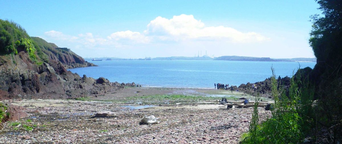
Climbing down into Castlebeach Bay is a treat. The little wooded valley has a hidden-away feel and its tiny beach is often deserted. Look out for a ruined limekiln, in which limestone was once burned to make lime for agricultural use.
Beyond the bay the path climbs up through the woodland. On the way up, keep an eye out for a ruined cottage. This was occupied from 1830-1900 by a local family from Marloes who worked the lime kiln.
As a further remnant of the past, garden plants can still be found surrounding the ruined cottage.
Deeper in the wood you cross a stream via a restored stone bridge. This was previously a mine cart bridge and formed part of the access to transport lime from the kiln. In fact the path you’re walking closely follows the remains of that old road.
Beyond the bridge the path climbs higher still towards the highest point on the route giving excellent views of the haven and across Watwick Bay. Close by is another defensive structure, the imposing Victorian era West Blockhouse. Now holiday accommodation, its position is well hidden.
Alongside it stand three navigation towers – these and the single one at Watwick Point provide a guide to tankers as they enter the waterway.
Daniel Wynn, South West Area Ranger: “This is a personal favourite of mine. The route was restored with assistance from the Friends of Pembrokeshire Coast National Park and other volunteers. The diversity of habitats along the walk will fascinate the nature lover, especially in the woodland where flocks of long-tailed tit and woodpecker can regularly be seen.
“The wet, damp woodland is also the perfect breeding ground for fungi and lichens of all descriptions. Furthermore this walk celebrates local history in the area by exhibiting remnants of the industrial past.”
Find this walk
Grid ref: SM815046
SAFETY FIRST!
- Take great care when on the Coast Path
- Stay on the path and away from cliff edges
- Wear boots and warm, waterproof clothing
- Take extra care in windy and/or wet conditions
- Always supervise children and dogs
- Leave gates and property as you find them