DISTANCE/DURATION: 3.2 miles (5.2 km) 1 hour 30 minutes.
PUBLIC TRANSPORT: Service bus Saundersfoot 350/351/352/353/333/381/361 Railway station 1 mile north of village.
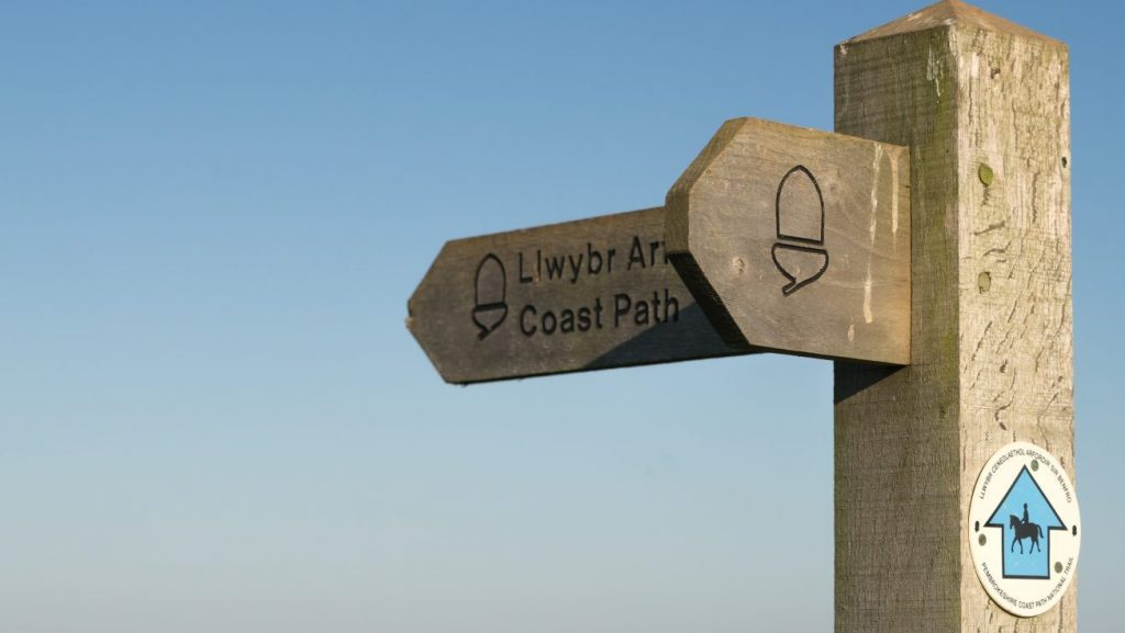
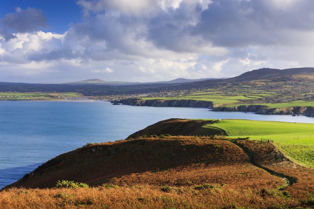
CHARACTER: Fields and livestock, village streets. Between Coppet Hall and harbour alternative route along beach at low tide.
LOOK OUT FOR: Clues to industrial past, incline, former colliery railway and harbour built for coal export.
There are lots of Saundersfoot stories – its a village with a remarkable past…
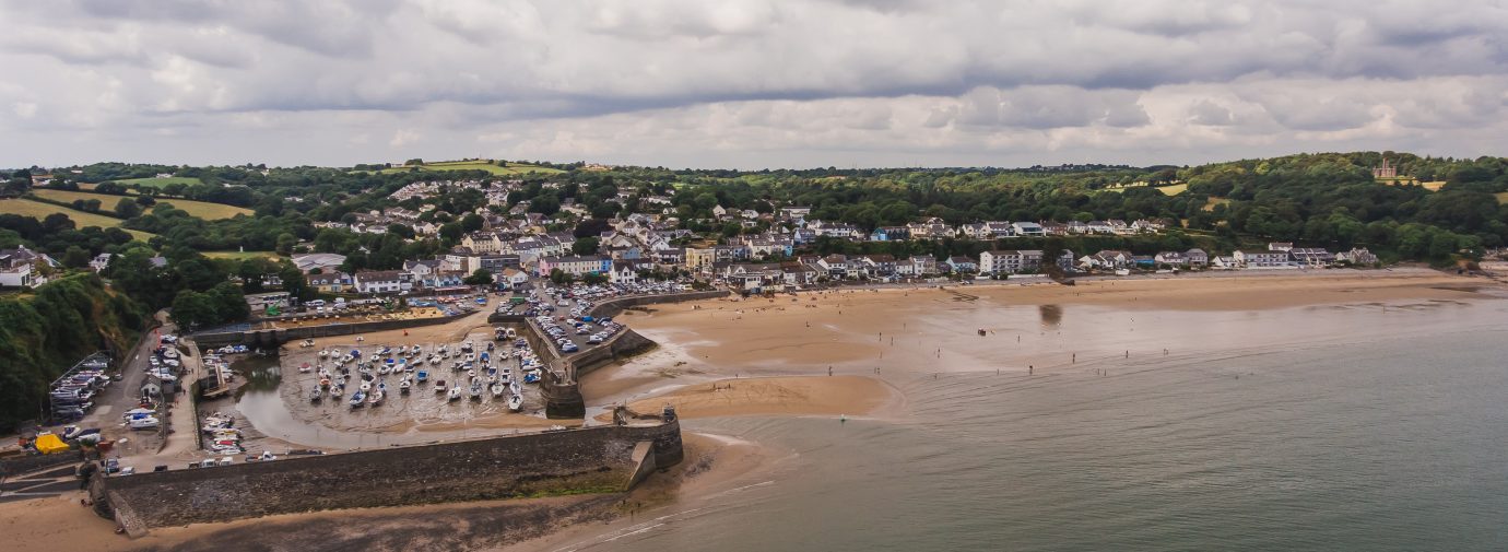
Although today Saundersfoot is a busy and prosperous holiday resort, the village originally developed around the harbour, built to export anthracite from the local coalfield in the nineteenth century.
There’s evidence of coal mining around Saundersfoot from as early as the fourteenth century, though, with the coal being shipped from various points on the coast.
In 1829 this ad-hoc arrangement was formalised by Parliament and a railway connecting the five pits in the Saundersfoot area was constructed along with the harbour, which also served the foundry at Stepaside and Wisemans Bridge.
The last pit closed in 1939 and so did the railway; the Strand in Saundersfoot was once Railway Street where the track lay to Wisemans Bridge (also look out for the Incline dram road).
The area of the Strand, Milford Terrace and the Harbour was designated a Conservation Area in 1975 by the National Park Authority and the village is part of the Historic Town Scheme, which helps to finance the preservation of historically significant buildings in the village.
Find this walk
Grid ref: SN134045
SAFETY FIRST!
- Take great care when on the Coast Path
- Stay on the path and away from cliff edges
- Wear boots and warm, waterproof clothing
- Take extra care in windy and/or wet conditions
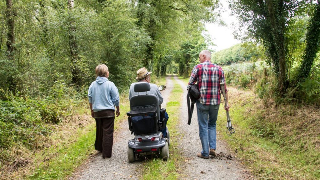
- Always supervise children and dogs
- Leave gates and property as you find them