DISTANCE/DURATION: 2.4 miles (3.9 km) 1 hour 15 minutes.
PUBLIC TRANSPORT: Service bus Solva 411, *Puffin Shuttle 400 (*seasonal, hail & ride).
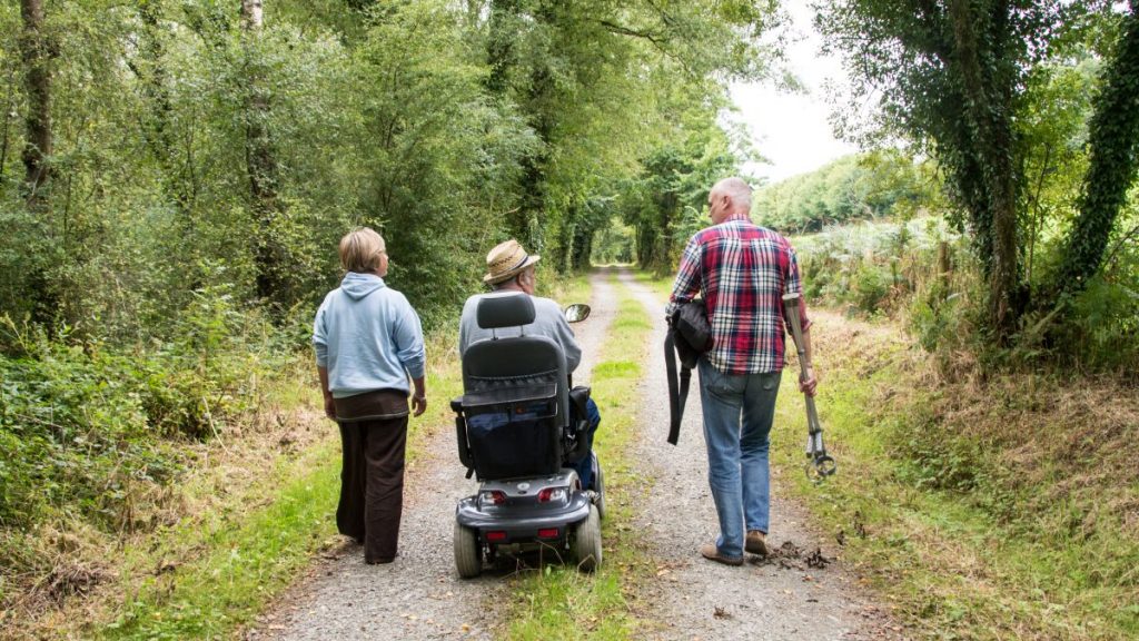
CHARACTER: Rugged coast, gradients steep, stiles, fields and livestock.
LOOK OUT FOR: Iron Age fort and Cromlech at St Elvis.
CAUTION: DOGS MUST BE KEPT ON LEADS: 6 cattle have been chased over cliff by uncontrolled dogs.
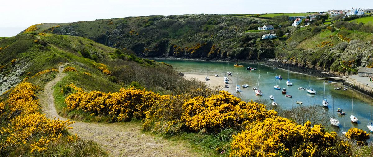
There’s burial chambers, harbours and gulls galore on this Gribyn walk.
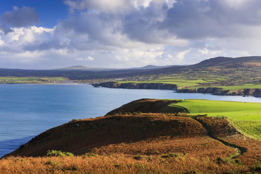
The Gribyn is the steep hilltop to the east of the harbour entrance. A good defensive site, it was used in the Iron Age as a fort.
Lime was once produced at Solva and the remains of a lime kiln last used in 1900 are nearby.
On the Gribyn, there are great views out to sea and patches of sea-pink, squill, campion and violets make it a colourful place in season.
You may see the odd sea-bird here gulls, sometimes fulmars and cormorants, with the occasional jackdaw and kestrel.
Look out for the Black Rocks at the entrance to the harbour and the promontory of Dinas Fawr snaking into the sea. Inland, St Elvis Burial Chamber above St Teilos Church is worth a visit.
Ian Meopham, West Sector Ranger for Pembrokeshire Coast National Park Authority has done this walk. He says: “A good stretch to spot choughs. The National Trust hopes to reintroduce grazing to the Gribyn to return the area back to nature through the Gwarchod y Godiroedd/Coastal Slopes grazing scheme”.
Text provided by the BBC
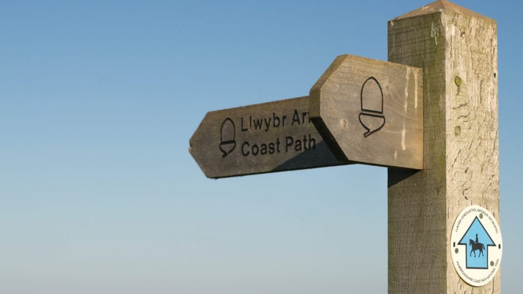
Find this walk
Grid ref: SM805241
SAFETY FIRST!
- Take great care when on the Coast Path
- Stay on the path and away from cliff edges
- Wear boots and warm, waterproof clothing
- Take extra care in windy and/or wet conditions
- Always supervise children and dogs
- Leave gates and property as you find them