DISTANCE/DURATION: 5.2 miles (8.4 km) 3 hours.
PUBLIC TRANSPORT: Service bus Trefin 413, *Strumble Shuttle 404 (*seasonal, hail & ride).
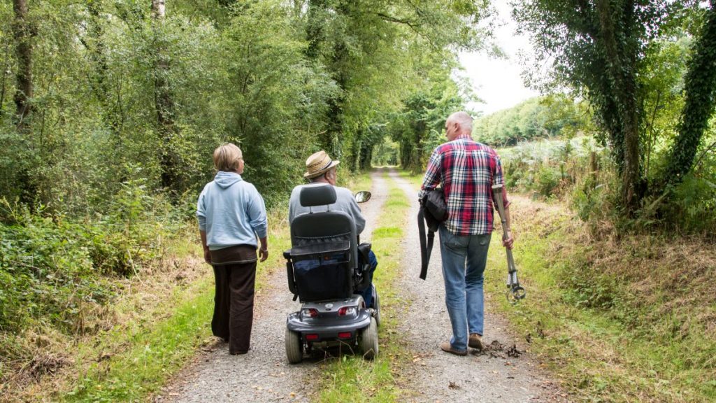
CHARACTER: Easy to moderate grade, quiet lanes, fields and livestock, areas of marshy ground in wet weather, 1.6 miles (2.5 km) minor road walking.
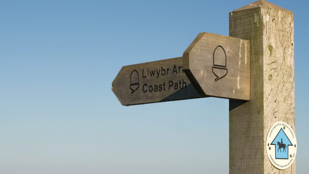
LOOK OUT FOR: Views of Strumble Head, rugged coastline, Trefin village old mill ruin at Aberfelin, made famous in Welsh poetry (short detour).
CAUTION: 220 yds (200 m) busy main road. please use verge where possible.
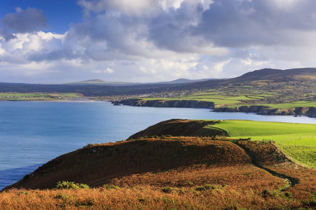
The route above Trefin offer excellent views of Pembrokeshire’s rocky northern coast. The striking landscape was created by dramatic geological events between 500 and 440 million years ago when volcanoes were active in the area.
Lava flows cooled to form super-hard igneous rocks and in some places the molten rock did not reach the surface, cooling slowly below the ground.
Over millions of years these igneous intrusions have resisted erosion far better than surrounding layers to become the rocky crags to the east at Strumble Head and to the west at Penberry and Carn Llidi.
Trefin is a large village close to the sea, but set back from it. It has close links to the sea, being just a short walk from the inlets of Aberfelin and Abercastle.
In the past the village was home to seafarers and it also had a reputation as a centre for smuggling.
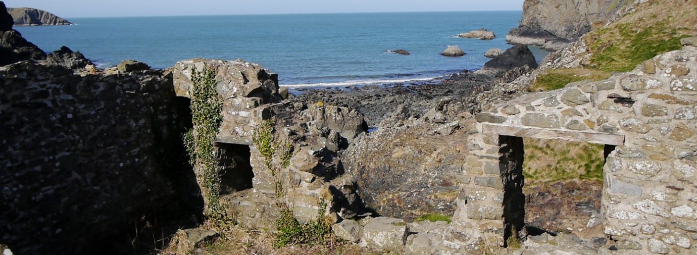
The ruins of a water mill known as Melin Trefin are preserved at Aberfelin and give the cove its name – in Welsh a mill is melin or felin.
The mill was one of two in the area owned by the bishops of St Davids, who owned much of the land around Trefin. Wheat and barley were ground at the mill for five centuries until its closure in 1918.
Find this walk
Grid ref: SM841323
COUNTRY CODE!
- Enjoy the countryside and respect its life and work
- Guard against all risk of fire
- Leave gates and property as you find them
- Keep your dogs under close control
- Keep to public paths across farmland
- Take your litter home