DISTANCE/DURATION: 2.6miles (4.2km) 1 hour 30 minutes.
PUBLIC TRANSPORT:This area is part of the North Pembrokeshire Fflecsi Bus scheme.
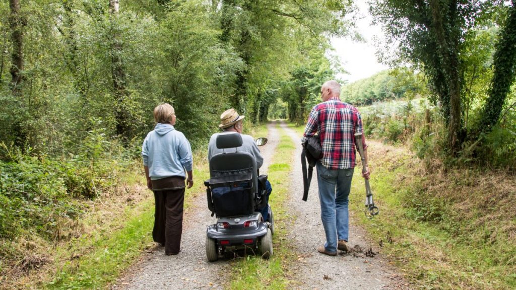
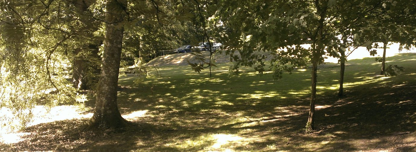
CHARACTER: Woodland, fields and livestock, reasonably level, 600m of quiet road walking.
LOOK OUT FOR: Upton Castle grounds (entrance fee), wildfowl and waders.
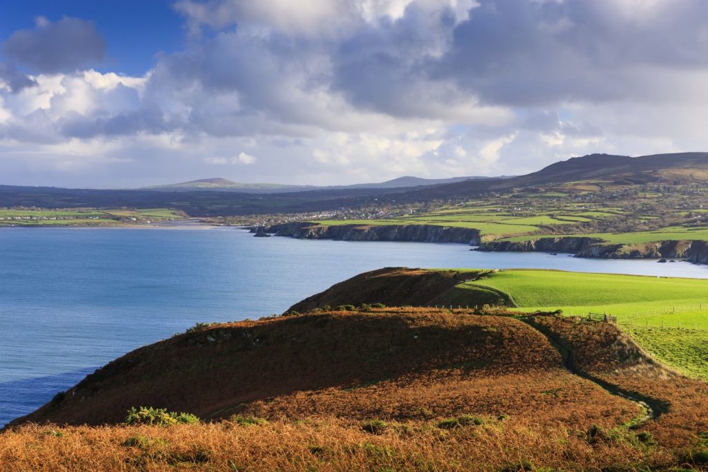
Thanks to the branching network of creeks around the Daugleddau nowhere in mid-Pembrokeshire is ever as more than 10 miles away from tidal water.
On this route the neighbouring Upton and Paskeston estates illustrate that proximity; the route follows the shoreline of two creeks, Ford Pill and Carew River, and not far beyond them is the Daugleddau. Cosheston Pill cutting in from the west does its best to put Upton and Paskeston on an island.
All the Daugleddau waterways are part of a classic ria, a series of river valleys that were formed before the last Ice Age and were then “drowned” when sea levels rose.
As the tide rises and falls in Ford Pill and Carew River the views change, from broad expanses of water to bare mud and marsh when the tide retreats.
For birds, low tide is feeding time. The rich estuary mud is full of tiny animals and plants that are food for wading birds and wildfowl, such as the shelduck. The shelduck is a large black and white duck with an orange band across its chest.
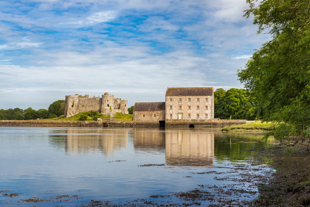
Nearby Carew Castle is one of the best known in Pembrokeshire. But the Daugleddau is also ringed by the ruins of minor castles built by the Normans as secondary strongholds, some of which became fortified homes.
Upton Castle, one of these minor fortresses, was probably built in the 13th century and for generations it was the home of the Malefant family. It is still a private home.
Find this walk
Grid ref: SN020047
COUNTRY CODE!
- Enjoy the countryside and respect its life and work
- Guard against all risk of fire
- Leave gates and property as you find them
- Keep your dogs under close control
- Keep to public paths across farmland
- Take your litter home