Adventure walk: 1.7 miles (2.8 km)
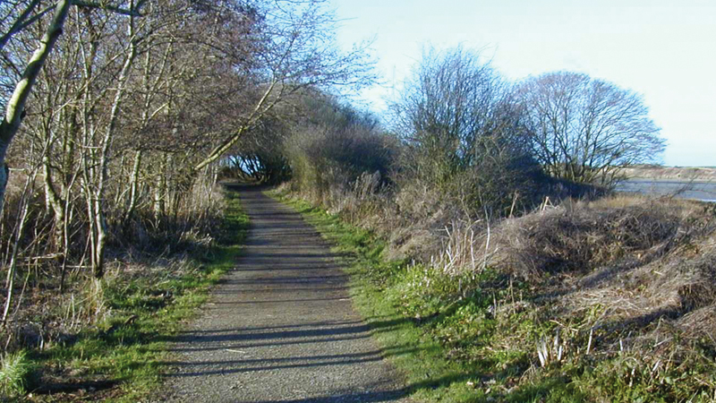
Character: Beautiful, wooded valley, mostly on wide tracks, slopes up and down.
How to get there
Public transport: Service bus 351 (Tenby – Pendine), not wheelchair accessible
Own transport: South Pembrokeshire; 2.5 miles north-east of the village of Saundersfoot. Approach via the A477 trunk road. No parking fee.
The first part of the walk – from Amroth to the start of the woodland – goes uphill steadily. The last part of the walk follows the same route downhill. Most of the rest of the walk is on paths which rise and fall more gently.
The walk follows public paths through Colby Woodland Garden, a National Trust property. It boasts one of the best collections of rhododendrons and azaleas in Wales, with bluebells and daffodils in spring, hydrangeas in summer and wonderful autumn colours.
Please stay on the described route, as an entrance fee is payable to non-members of the National Trust for visiting the garden. The Garden is open from spring to autumn.
The walk passes the Garden’s tearoom, which is open to all (access via ramp) from spring to autumn.
From bus stop: walk up road opposite bus stop. From car park: leave car park using road, ignore cul-de-sac, and turn left onto road uphill.
The first 16 metres are 1:8 uphill. Where road forks at Upper Mead house take left hand lane (1:8 for 17 metres) and walk past houses into wood. Follow wide track, at T-junction (1:7 for 12 metres) bear left and at fork take right-hand track. There are two short steep sections of 1:8 and 1:7 for 3 metres each.
Go through gate (often open) and straight ahead. On passing the entrance to meadow on left there is a cross gradient of 1:18 for 4 metres. Just before reaching the buildings of Colby Lodge there is 2 metre section of 1:10. Stay on the wide track between the buildings, then at road, turn left (1:8 for 5 m).
Turn left at fingerpost and follow track across footbridge (1 metre wide). At crossing of paths, bear left onto surfaced track between wood and meadow below. Stay on this track. There are two steep sections: the first 1:10 for 4 metres, the second up to 1:8 for 50 metres leading to gate.
After gate turn left onto a path, which is uneven, for 40 metres, with a gradient of up to 1:7 for 40 metres.
Follow path and fork left to fingerpost at bridge over stream.
At fingerpost turn right over bridge (up to 1:8 for 3 metres) and at next fingerpost bear right. Follow track and when reaching road, bear right onto road.
For bus stop: continue straight ahead. For car park: turn right into car park.