Adventure walk: 6.3 miles (10.1 km)
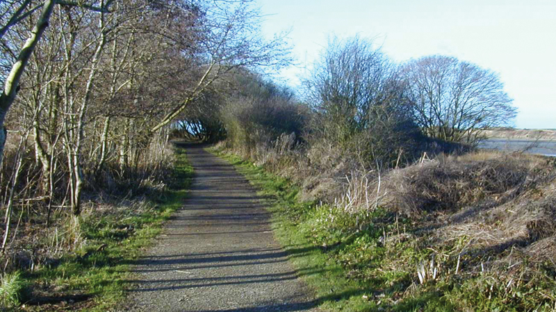
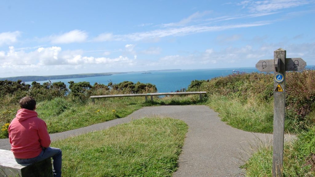
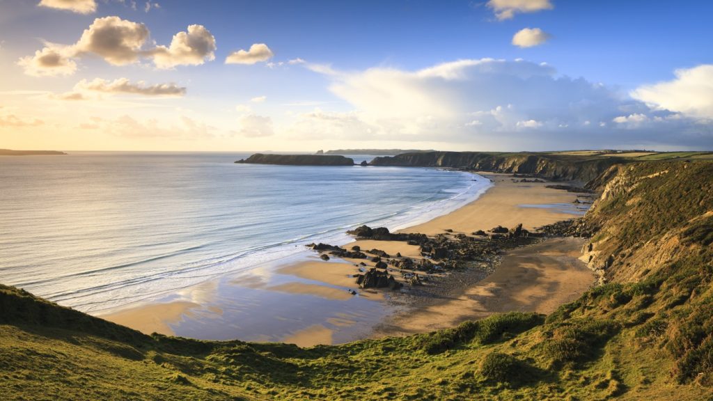
Character: Stunning views of the sea, cliffs and the landscape further inland. Stone track, fairly level.
Toilets: No toilets at car park. Nearest toilets in Bosherston (one mile from end of walk).
Please note: This walk is on the Castlemartin firing range. It is closed when the range is in use. Live firing notices are published in local newspapers and on the Gov.uk website.
How to get there
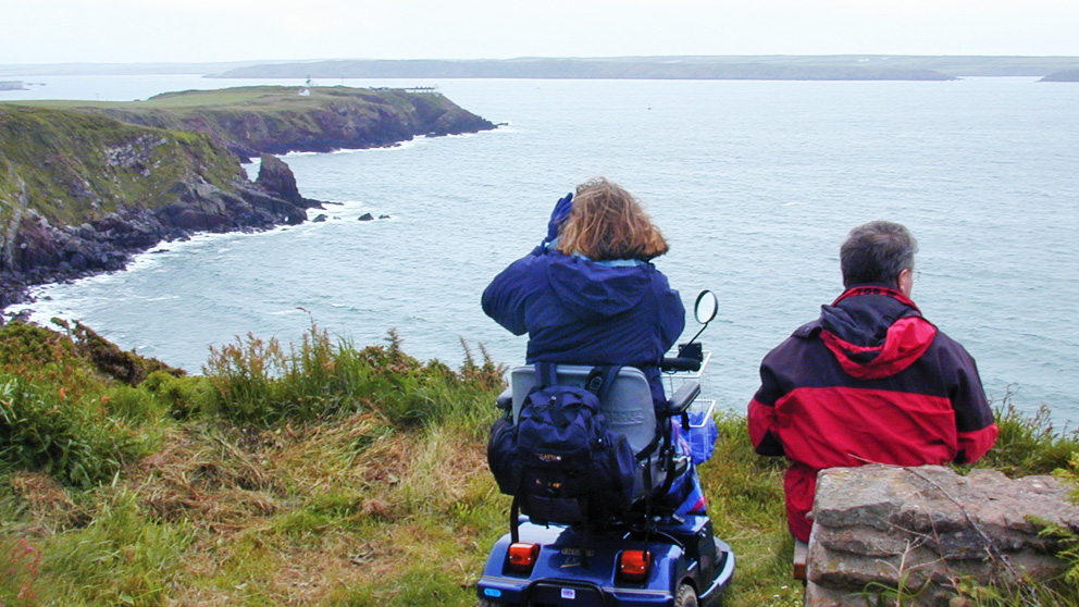
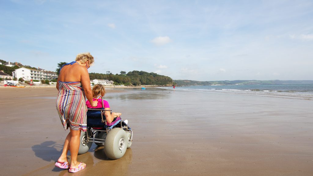
Public transport: Coastal Cruiser (wheelchair accessible)
Own transport: South Pembrokeshire, 7.5 miles South West of Pembroke. Approach via the B4319 road and local minor road. Car park at Stack Rocks.
The walk follows a stony or grass covered track across the Castlemartin range. The stone track can be uneven, but for most of its length the verge is made up of short grass, providing an alternative surface.
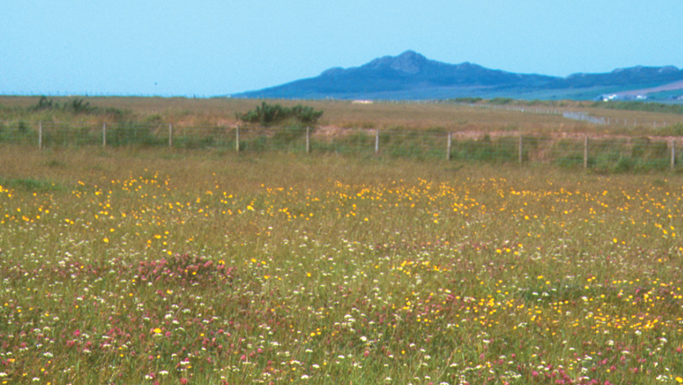
Used by the Ministry of Defence as a firing range since the 1940s, there has been relatively little human influence on this area of the south Pembrokeshire coast since then. This lack of disturbance has produced a rich, unspoilt range of habitats for wildlife.
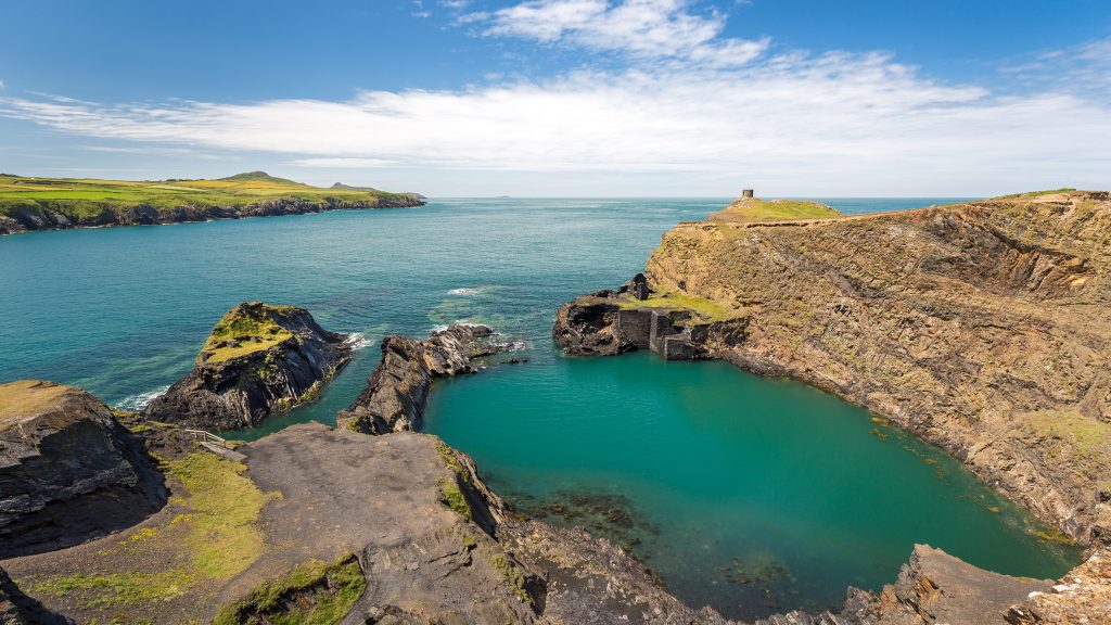
Stack Rocks are two detached pillars of limestone. The tops of the stacks and the ledges below are crammed in spring with guillemots and razorbills, and fulmar and kittiwake nest on the cliffs along with herring and black-backed gulls.
Near the car park, but not part of the walk, is the Green Bridge, a natural arch carved by the waves.
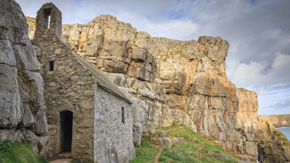
At the other end of the walk, but down a flight of steps, is the chapel dedicated to St Govan, an Irish abbot of the 6th century.
According to legend he escaped from pirates by landing here and hiding in a crack in the rocks which miraculously opened to conceal him.
It is said that the number of steps is never the same going down as going back up.
Directions
Leave the car park and walk towards the interpretation board, then turn left towards a gate by a notice board (very short ramp down to gate).
Go through this gate and follow the obvious Coast Path ahead.
Follow the path on the grass and keep to the left of the fenced-off Iron Age fort as the path leaves the cliff edge (aim for the wide track ahead).
There is a short 3 metre section in the fort with a 1:10 gradient. On reaching the wide track on the other side of the fort, bear right and follow it.
After going through a gate the track turns right and then forks. Stay on the left hand track where there is a 1:12 to 1:9 gradient down for 7 metres.
Keep following the track until reaching the St Govan’s car park.
Retrace steps.