Adventure walk: 3.6 to 4.4 miles (5.8 to 7.1 km)
Character: Great views of cliffs and islands, mainly on level grassy paths.
How to get there
Public transport: Puffin Shuttle at Martin’s Haven and top of lane to Marloes Sands car park (wheelchair accessible)
Own transport: South Pembrokeshire, 8 miles West of Milford Haven. Approach via the B4327 road. Car park at Marloes Sands (charge).
Toilets: Runwayskiln Youth Hostel and Martin’s Haven (seasonal).
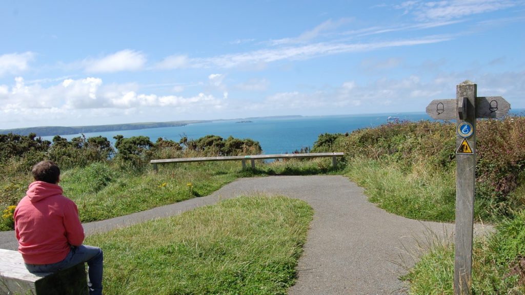
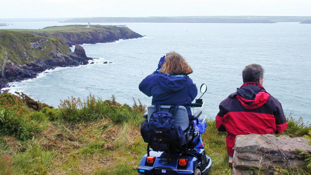
Please note: The second and third viewpoints (coming from Marloes Sands car park) are on the field side of the gates onto the Coast Path. It is possible to get onto the Coast Path, but it is narrow and uneven and the cliffs are high and sheer.
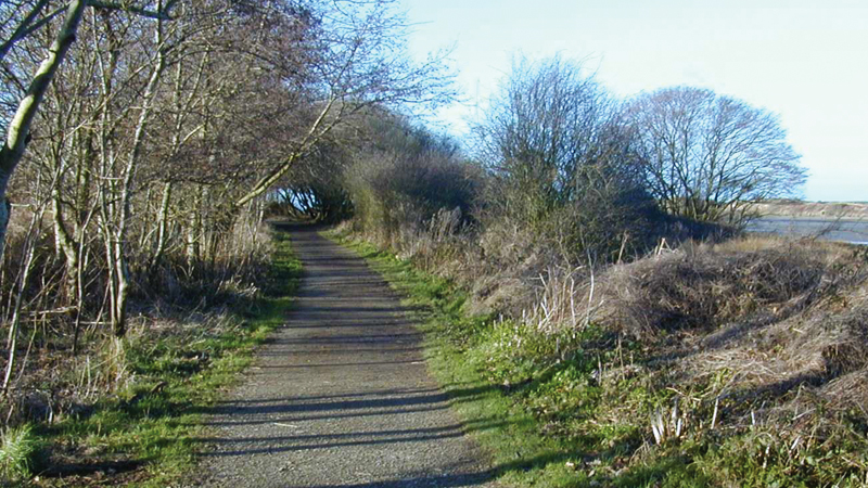
The route follows mainly level, grassy paths. On main route to Martin’s Haven no gradients are steeper than 1:12. There is a 1:10 gradient for 50 metres to the second viewpoint. The longer distance includes detours to three viewpoints.
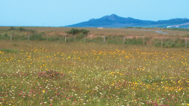
This walk passes Marloes Mere, an area of wetland pools and marsh important for ducks and other wild fowl. Hen harriers and short-eared owls can often be seen quartering the marsh.
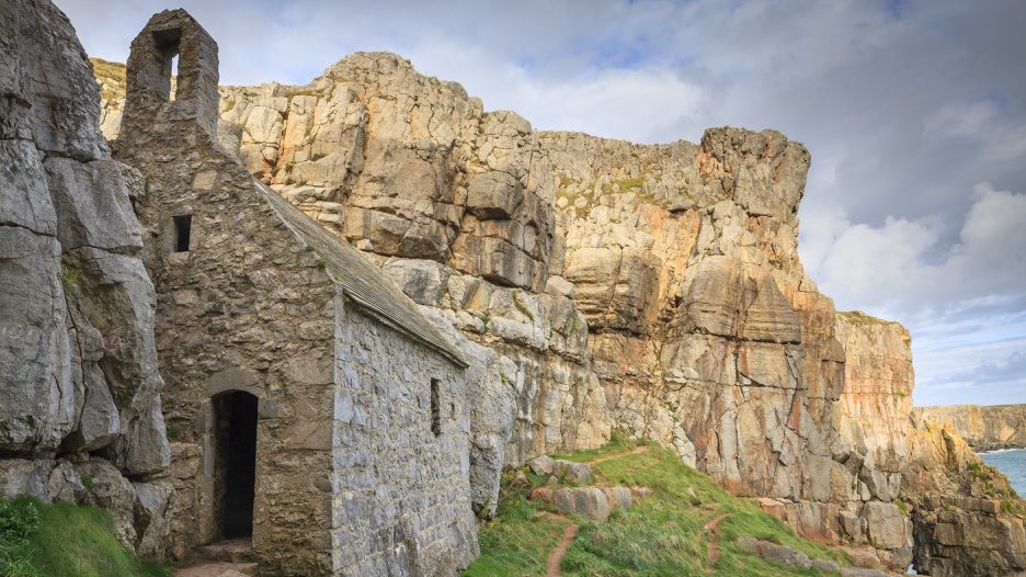
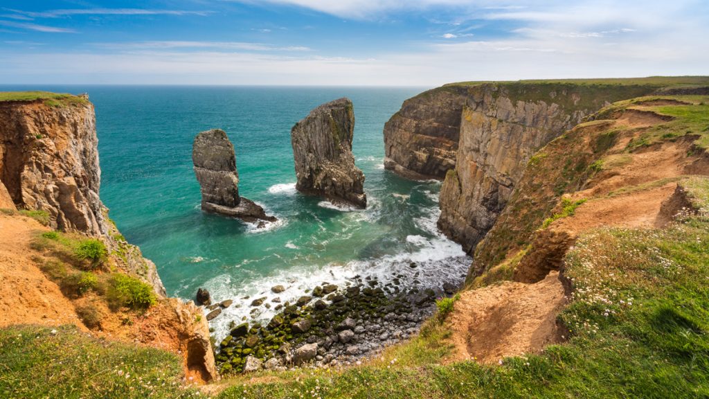
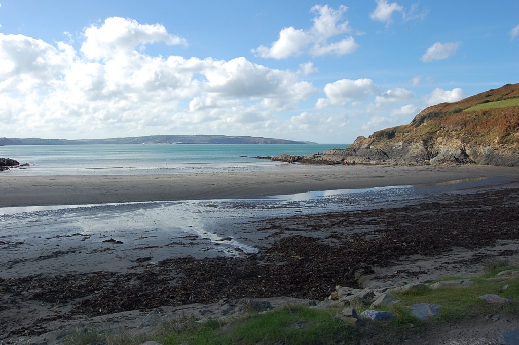
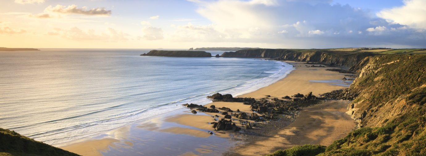
After passing an impressive Iron Age fort, the route joins the Coast Path. It stays just inland from the cliff tops, but offers great views of the coast and the islands of Skokholm, Skomer and guano covered Grassholm in the distance.
All three are home to important seabird colonies in the summer. The walk crosses coastal fields which are managed to encourage chough.
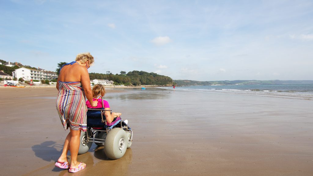
Not part of the Walk: the path down to the Marloes beach viewpoint, although steep in places (gradients steeper than 1:12), is free of steps. Access to the beach itself is via rough steps and across boulders and rocks.
Directions
(These directions include visits to all three viewpoints, starting at Marloes Sands car park. If you do not want to visit the viewpoints, just stay on the broad track.)
Turn right out of car park and follow broad track towards Youth Hostel. At fingerpost immediately past Youth Hostel turn left through gate and follow field edge path to first viewpoint, then retrace steps.
Turn left, back onto track until reaching field gate at end of track. Go through pedestrian gate on left and continue ahead on field edge path with hedge on left to second viewpoint and retrace steps.
Staying in the field, follow field edge path with hedge on right, until reaching gate on right. For third viewpoint, continue ahead on obvious path and retrace steps to gate.
Go through gates and follow enclosed path around Iron Age fort. After next set of gates turn left towards the Coast Path, then turn right following field edge path with sea on left.
Go through next gate, cross footbridge and continue straight ahead through gate onto field edge path to Martin’s Haven car park. Retrace steps.