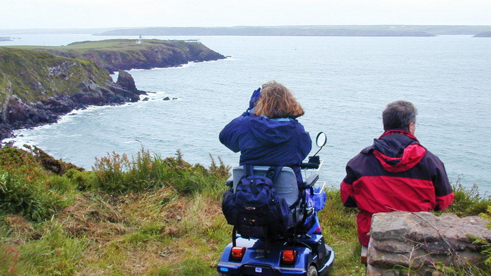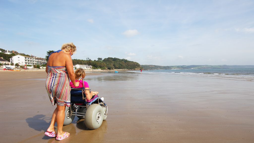
Easy access walk: 3.7 miles (5.9 km) there and back. 2.4 miles (3.9 km) using road.
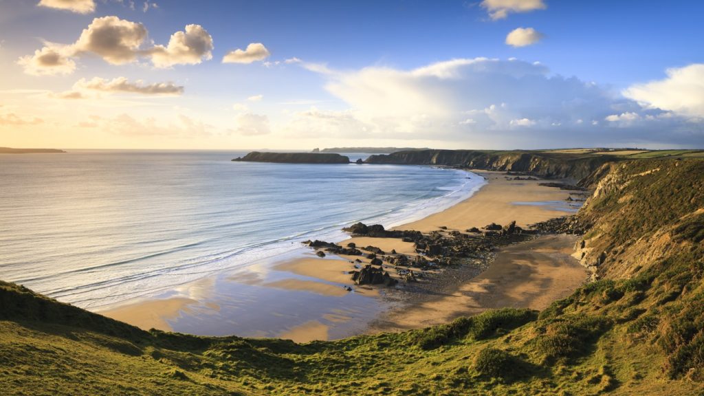
Character: Level walk on disused airfield, views of heathland, skylarks in spring and summer.
Toilets: Nearest toilets in Solva and main car park in St Davids (not nearby).
How to get there
Public transport: nearest bus stop in Solva (1.7 miles).
Own transport: Northwest Pembrokeshire; 1.5 miles East of the city of St Davids. Approach via the A487 road.
This level walk along the edge and then through the centre of St Davids Airfield is surfaced throughout. If you choose to use the road to make this a circular route, please take care as it is a minor country road with no dedicated pedestrian path.
During World War II St Davids Airfield was the scene of constant activity as an RAF Coastal Command base engaged in the Battle of the Atlantic.
Today St Davids Airfield is a peaceful place. In spring skylarks now fill the air.
The National Park Authority owns most of the disused airfield and has restored and recreated wildlife habitats while safeguarding public access and enjoyment.
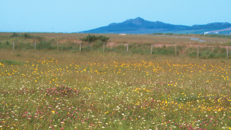
The remainder of the airfield has been returned to farming use. Part of the airfield is now classed as a Site of Special Scientific Interest (SSSI) and includes heath and wetland of national importance.
The stone circle dates from 2002, when the National Eisteddfod of Wales was hosted on the site.
Directions
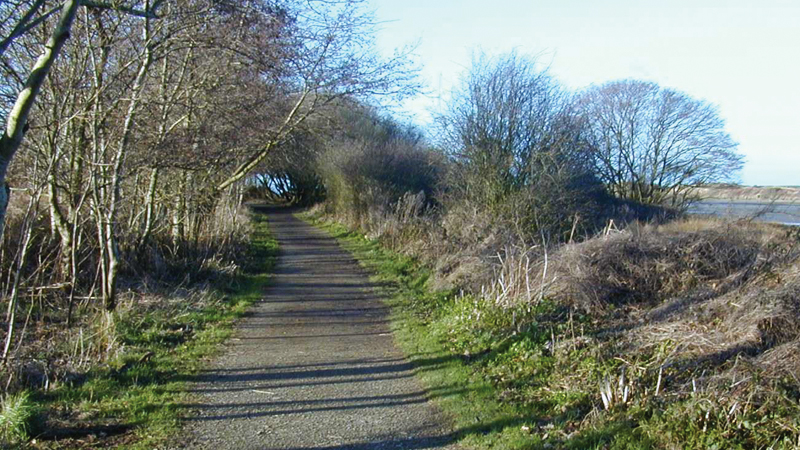
Go through gate and follow the concrete path with hedge on the right. The path is made up of concrete, sometimes topped with tarmac.
In places it has grooves cut across it, which can give a juddering effect when crossed in a wheel chair. Follow the obvious path around the perimeter of the former airfield.
Turn right after passing a stone circle onto a path. Follow the path, with hedge banks on both sides, straight ahead and on to a kissing gate by the road. Here there is the choice of retracing your steps or returning via the road.
If opting for the latter, turn right onto road – taking extreme care (no pavement) – and turn right at the T junction.
Alternatively after passing the stone circle continue straight on along the perimeter path and turn left to pass though a gate and follow a loop along a raised narrow path of compacted stone, which passes through the heathland.
Return via another gate and turn left to finish at the gate by the parking area at the eastern end of the airfield. Retrace steps.