Easy access walk: 1.6 miles (2.7 km), 1.5 miles (2.5 km) using shortcut.
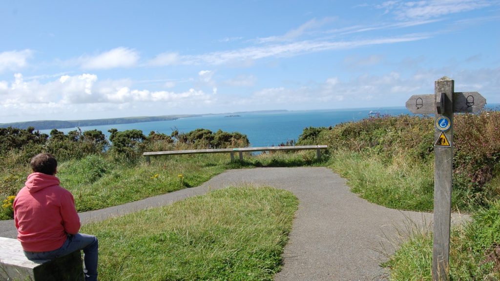
Character: Pretty ancient town and views over estuary, all on surfaced, level paths. Slopes up and down.
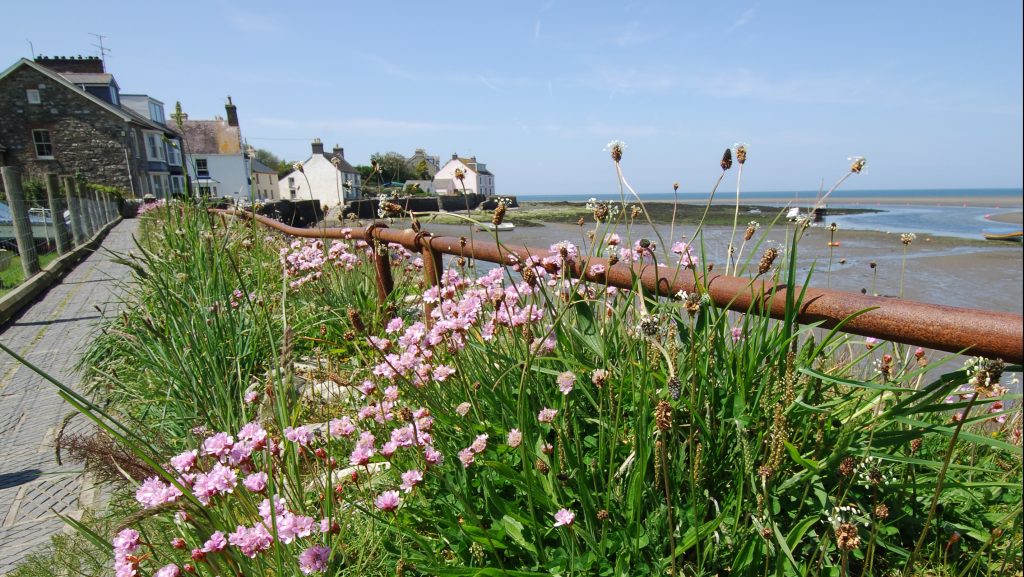
Toilets: At car park. Alternative parking and toilets (seasonal) are available at Newport Parrog (free).
How to get there
Public transport: please refer to Pembrokeshire County Council website
Own transport: North Pembrokeshire, start the walk from the town centre car park in Newport (seasonal charge). Approach via the A487 trunk road.
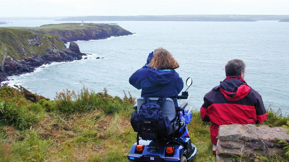
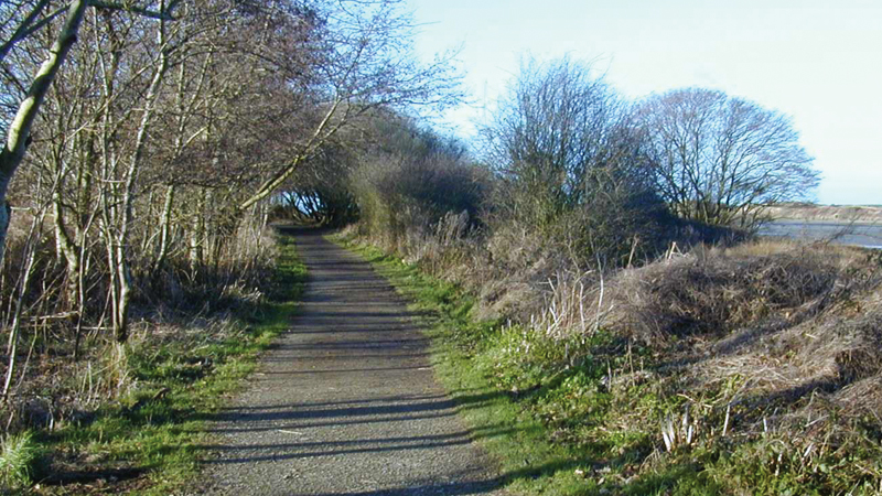
This walk is surfaced throughout, with dropped kerbs in the town and a purpose-made, smooth, stone surfaced path along the Nevern Estuary.
Long Street (where the car park is) has a gradient up to 1:20, with some 1:12 sections; the walk goes uphill on this road.
The Parrog Road also has a gradient up to 1:20, with one 1:15 and a 1:12 section; the walk follows this road downhill. Taking the shortcut will avoid the steepest sections of the walk.
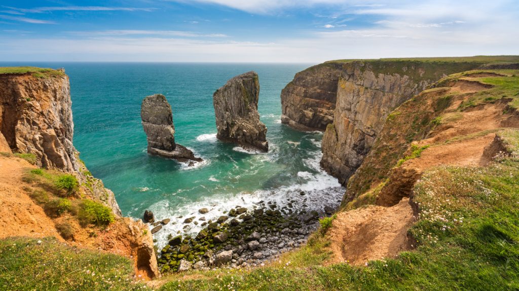
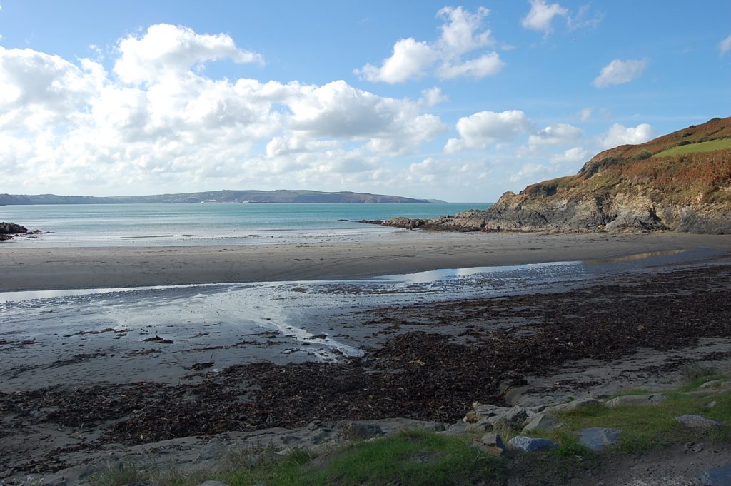
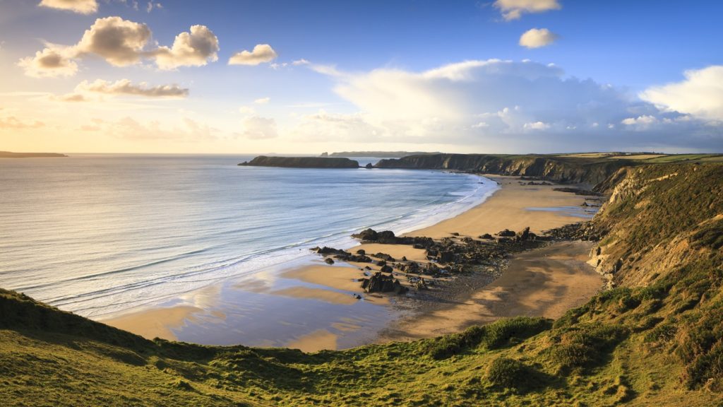
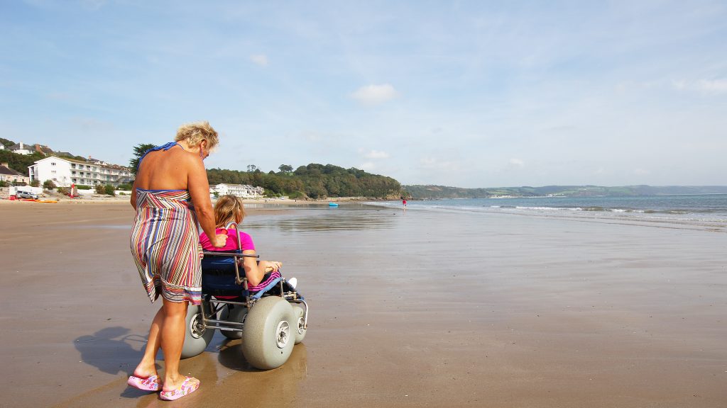
The town’s Welsh name, Trefdraeth, translates as Beach Town. Newport actually boasts two beaches that are separated by the River Nevern: the Parrog and, across the estuary, Newport Sands.
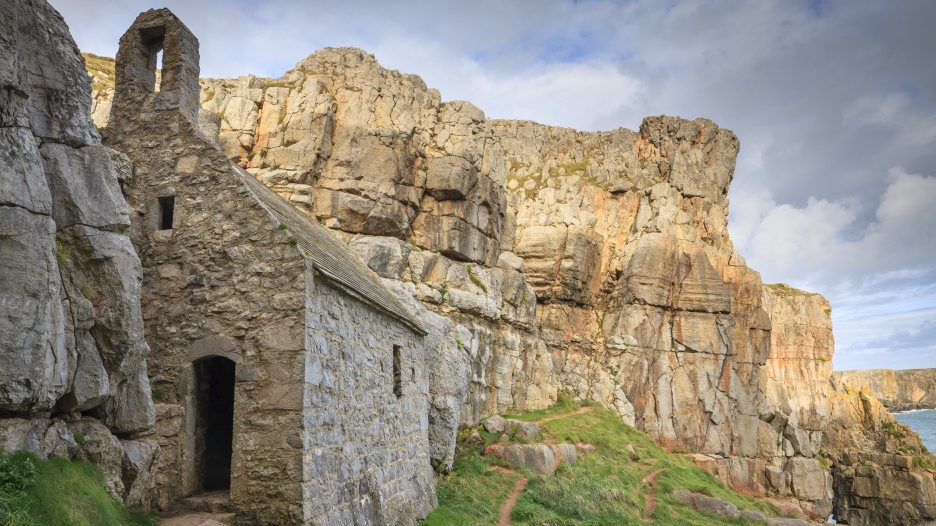
This is a fascinating place. Founded as Novus Burgus around 1200 by the Norman Lord of Cemaes, the street layout sticks closely to the grid pattern of the Norman new town and the castle remains the main landmark of the town.
The town also boasts a Neolithic burial chamber, Carreg Coetan Arthur, a 16th century castle (still inhabited today) and the fine St Mary’s Church.
Some Norman new towns prospered, others failed. Newport was modestly successful, becoming a trading and shipbuilding community.
From the 16th century until the railways killed much of the coastal trade, goods like wool, slate and herrings were exported from warehouses at The Parrog.
Directions
Whole walk:
Turn right out of the car park. Going uphill, the street gets steeper towards the crossing (up to 1:12). Turn right at the crossing (1:10 cross gradient) and follow pavement.
Turn right again onto Parrog Road (1:15 down for 64 metres), follow road down (1:12 section for 60 metres further down) and after houses on right turn right onto Coast Path at fingerpost.
Shortcut:
Cross stream at end of car park using left-hand bridge (1:16 down for 15 metres). Turn left and follow path between houses. On reaching open area, turn left then right on pavement, then straight on between houses.
On reaching road, turn right, follow road down (1:12 section for 60 metres) and after houses on right turn right onto Coast Path at fingerpost.
Follow path along estuary all the way to the road, ignoring paths on right. There is a 20 metre section with a 1:20 cross camber.
Where the path crosses a bridge there is a 1:10 gradient up for 13 metres and a 1:12 gradient down for 15 metres.
On reaching the road, retrace steps, ignoring first path on left signed YHA, and turn left onto a Tarmac lane (this is Long Street).
Follow Long Street uphill until reaching the car park. The gradient is mostly up to 1:20, but there are a few sections of 1:12.