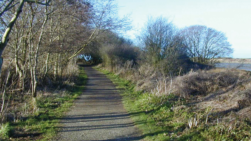
Easy access walk: 1.3 miles (2.0 km)
Character: Level walk on purpose-made path through wooded valley.
Toilets: At both car parks (seasonal at Pwllgwaelod).
Facilities: There is a restaurant at Pwllgwaelod.
How to get there
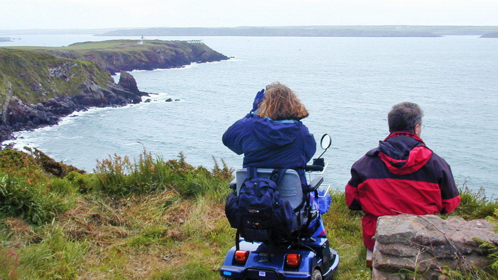
Public transport: Poppit Rocket to Pwllgwaelod (wheelchair accessible)
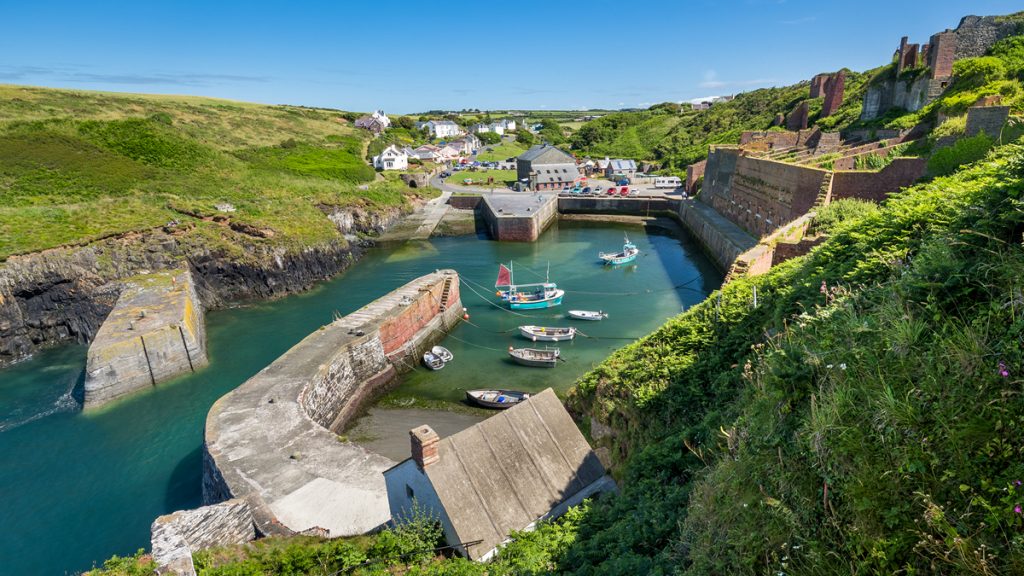
Own transport: North Pembrokeshire, 5 miles North East of the town of Fishguard. Approach via the A487 trunk road. Car parks at Pwllgwaelod (free) and Cwm-yr-Eglwys (charge).
The walk is mainly on a purpose-made Tarmac surface. Gradients are minimal, and where they do occur are only for short distances.
The section across Cwm-yr-Eglwys caravan park (90 metres) has a concrete honeycomb surface through which grass grows. It can give a juddering sensation when crossed in a wheelchair.
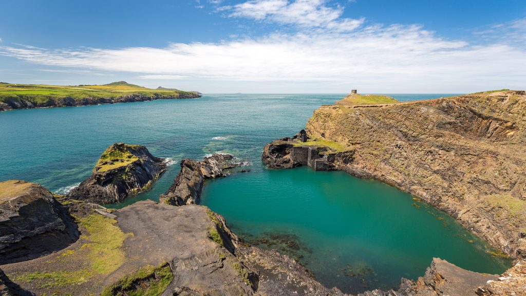
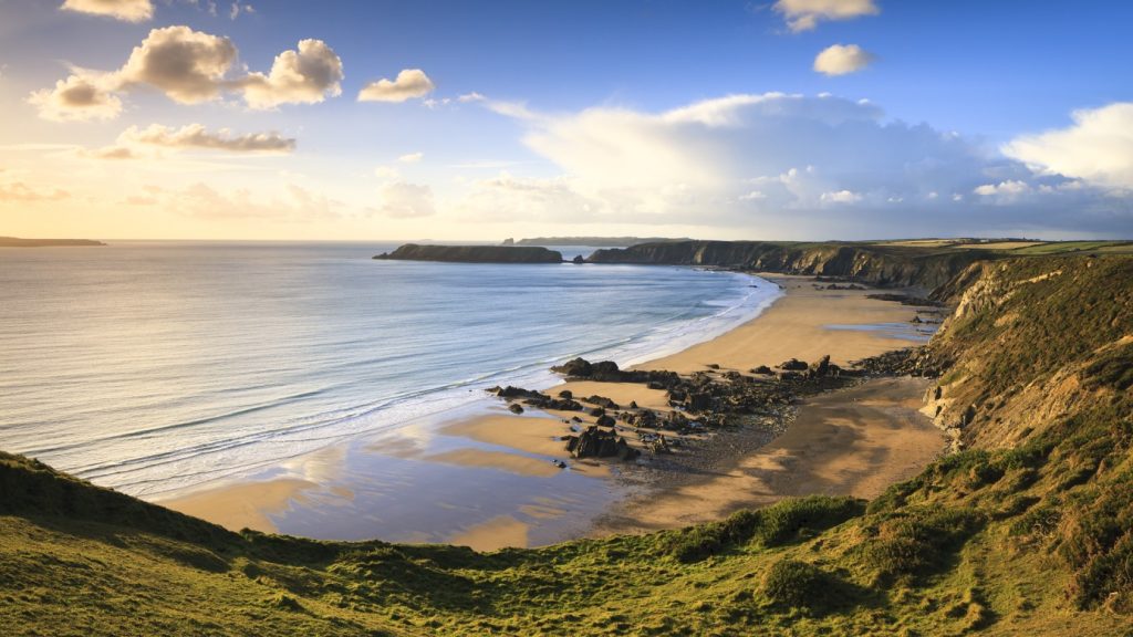
This walk follows a valley that was formed by the same Ice Age meltwater that formed the Gwaun Valley further down the coast.
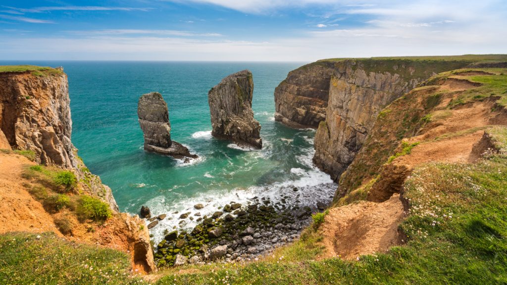
It is a pleasant valley with wet woodland to the South and Dinas Island to the North.
On a windy day, the wind buffets either Pwllgwaelod or Cwm-yr-Eglwys, leaving one cove bracing and the other sheltered by surrounding cliffs.
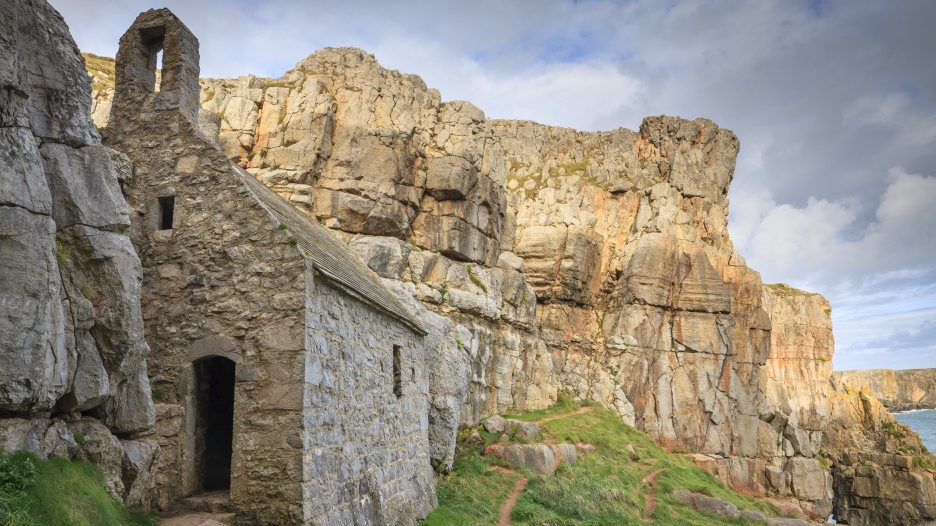
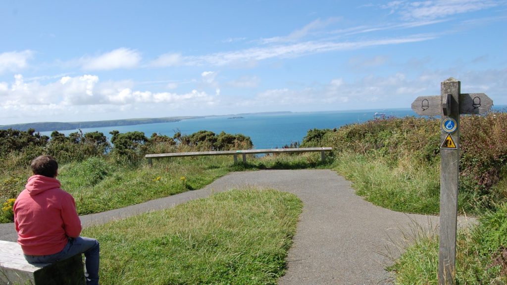
It is worth having a look at the remains of Cwm-yr-Eglwys church: the path to the church is level, and there are seats on the seawall. The church, dedicated to St Brynach, was destroyed in the great storm of 1859.
Directions
From Pwllgwaelod
Follow road past restaurant and turn right at signpost to gate (short steep ramp, then 1:15 for 12 metres).
Follow level, Tarmac path through gates (up to 1:12 gradient for 7 metres leading up to third gate) until reaching Cwm-yr Eglwys car park.
From Cwm-yr-Eglwys
Walk towards caravan park on well defined path. After second gate (up to 1:12 gradient down for 7 metres) path surface is Tarmacked.
Follow path to road at Pwllgwaelod (1:15 gradient down for 12 metres after last gate, followed by short steep ramp down).