Easy access walk: 1.1 miles (1.8 km)
Character: Excellent coastal views, surfaced path, very few gradients.
Toilets: No toilets at car park. Nearest toilets in Bosherston (1 mile).
Please note: This walk is on the Castlemartin firing range. It is closed when the range is in use. Live firing notices are published in local newspapers and on the Gov.uk website.
How to get there:
Public transport: Coastal Cruiser (wheelchair accessible).
Own transport: South Pembrokeshire, 6 miles South of Pembroke. Approach via the B4319 road and local minor road. Car park at St Govan’s Chapel.
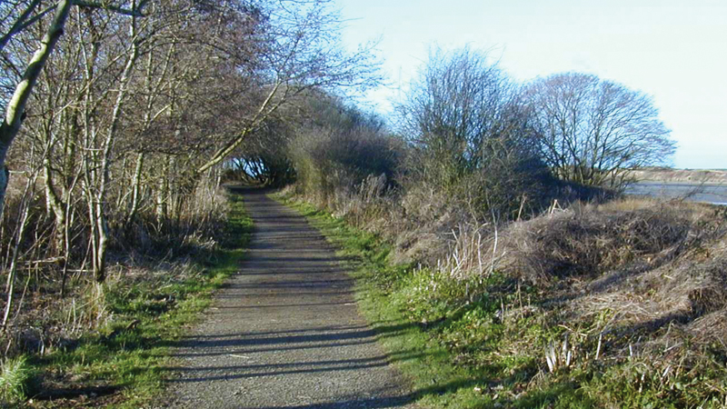
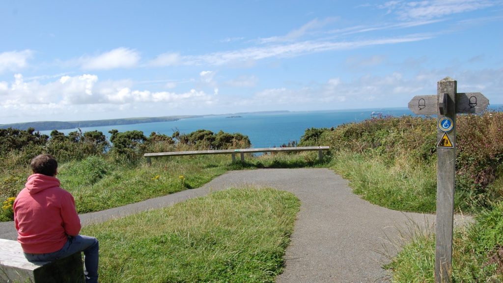
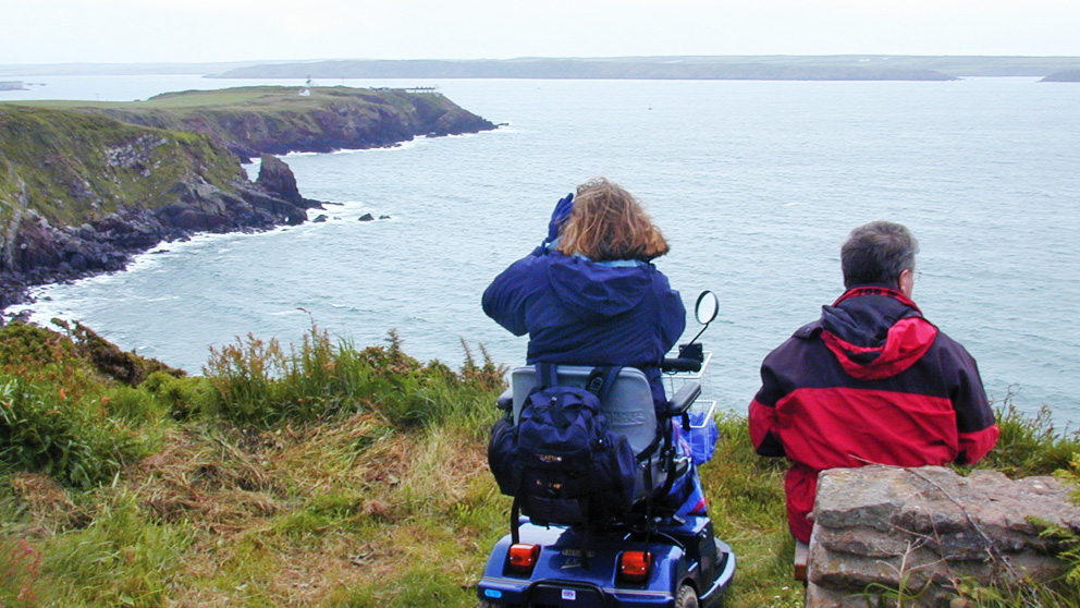
The path from the car park to the old coastguard station has been surfaced and provides a fairly level walk. It runs inland from the cliff edge.
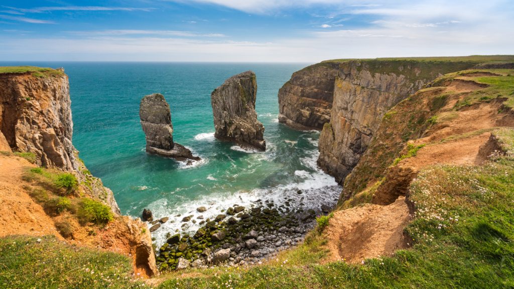
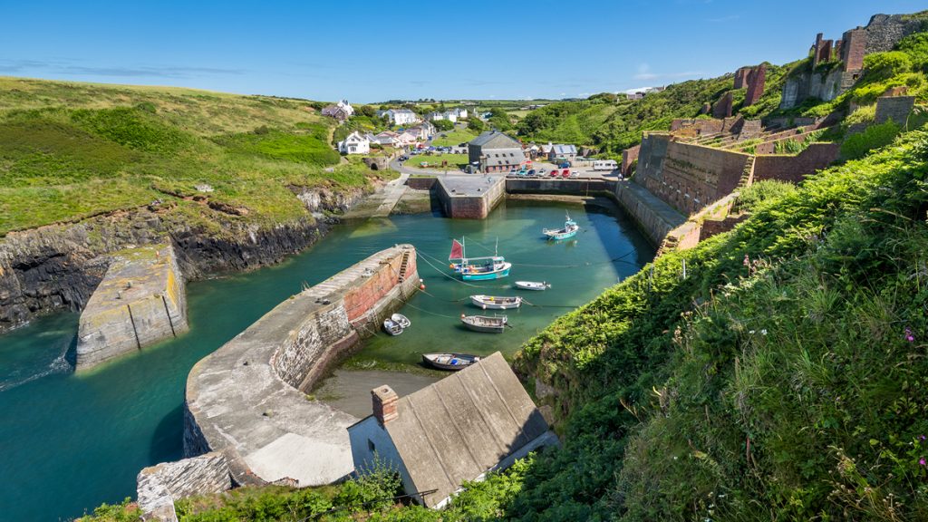
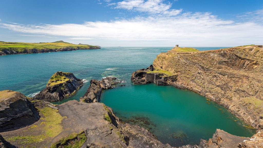
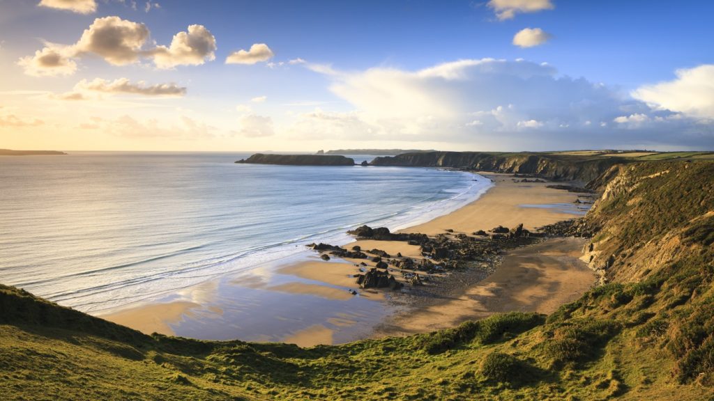
The views along the coast are magnificent. The cliffs here are important for seabirds, including guillemots, razorbills and kittiwakes.
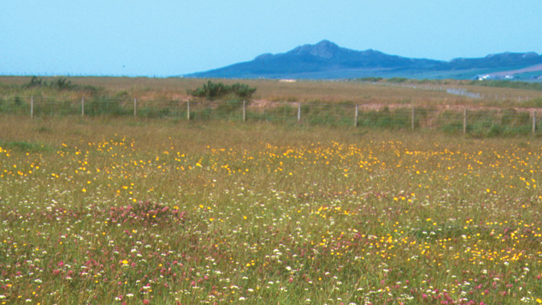
The coastal heath and unimproved grassland provides an ideal habitat for the chough, and also supports many birds such as wheatears, skylarks, meadow pipits, stonechats and various species of warbler.
The cliffs also provide excellent opportunities for climbing: it is not unusual for heads to suddenly pop up above the cliff edge.
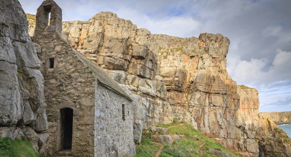
Close to the car park, but down a flight of steps is the chapel dedicated to St Govan, an Irish abbot of the 6th century.
According to legend he escaped from pirates by landing here and hiding in a crack in the rocks which miraculously opened to conceal him.
It is said that the number of steps is never the same going down as going back up.
Directions
Leave the car park on the Tarmac path next to the disabled parking bays, and turn left onto the Coast Path.
Follow this wide tarmac path towards a gate next to a cattle grid; there is a 1:18 gradient for 10 metres, followed by a 1:12 to 1:10 gradient for 7 metres uphill before reaching the gate.
Shortly after passing through the gate there is a 1:15 gradient for 10 metres uphill.
Stay on the Tarmac path and keep straight ahead at the fingerpost. A little distance after the fingerpost there is a 1:36 cross gradient to the left for about 90 metres.
The path ends near the old Coastguard station, where there is a 1:12 gradient uphill for 10 metres.
Retrace steps to car park.