Adventure walk: 0.4 miles (0.7 km)
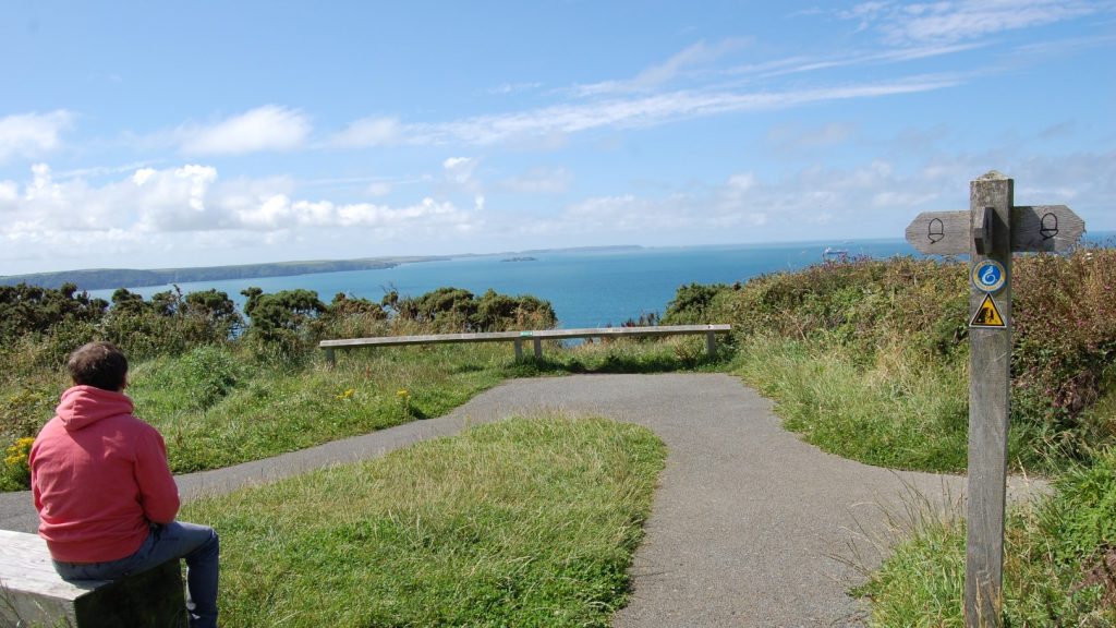
Character: Path surface variable, steep sections, great coastal views, remains of slate quarry and workers’ cottages.
Toilets: Seasonal, not wheelchair accessible. Nearest accessible toilets at Porthgain (about 3 miles).
Please note: Take care near cliff edges and on steep slopes.
How to get there
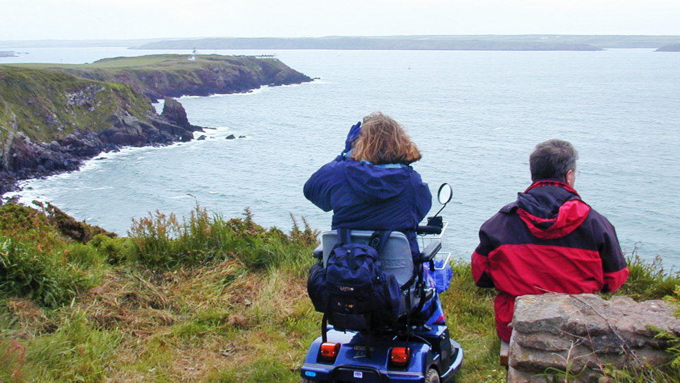
Public transport: Strumble Shuttle (wheelchair accessible)
Own transport: Northwest Pembrokeshire; 5 miles north-east of the city of St Davids. Approach via A487 road.
There is an informal parking area above the beach, which has a natural, uneven surface. The first 87 metres of this walk is on a reasonably level compacted stone surface.
The second part runs along a specially made concrete path climbing steadily uphill with slopes of up to 1:9 in places. On this section there are seven landings and two passing places.
The last part for 70 metres is downhill on a compacted slate rubble surface at a 1:14 gradient to a platform viewing area.
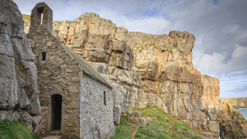
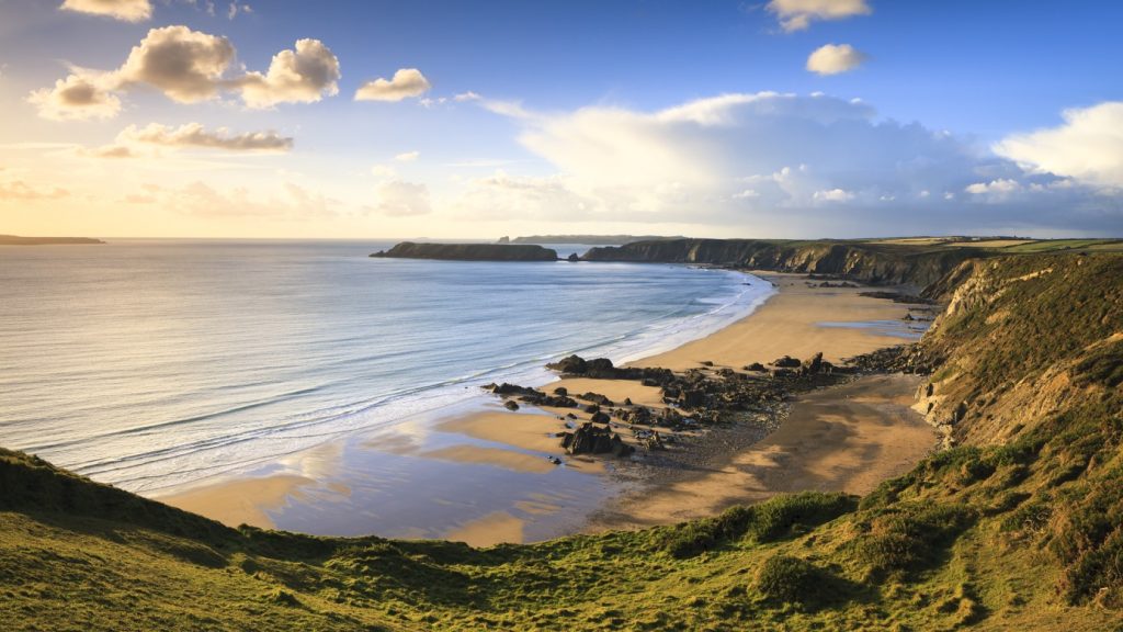
The abandoned quarry workers’ cottages are a reminder of a time when Abereiddi was a hive of activity.
Slate was quarried here in the 19th century, but the quarry was abandoned in 1901. Flooding in the thirties eventually forced people to move elsewhere.
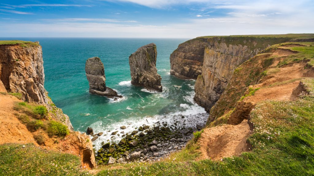
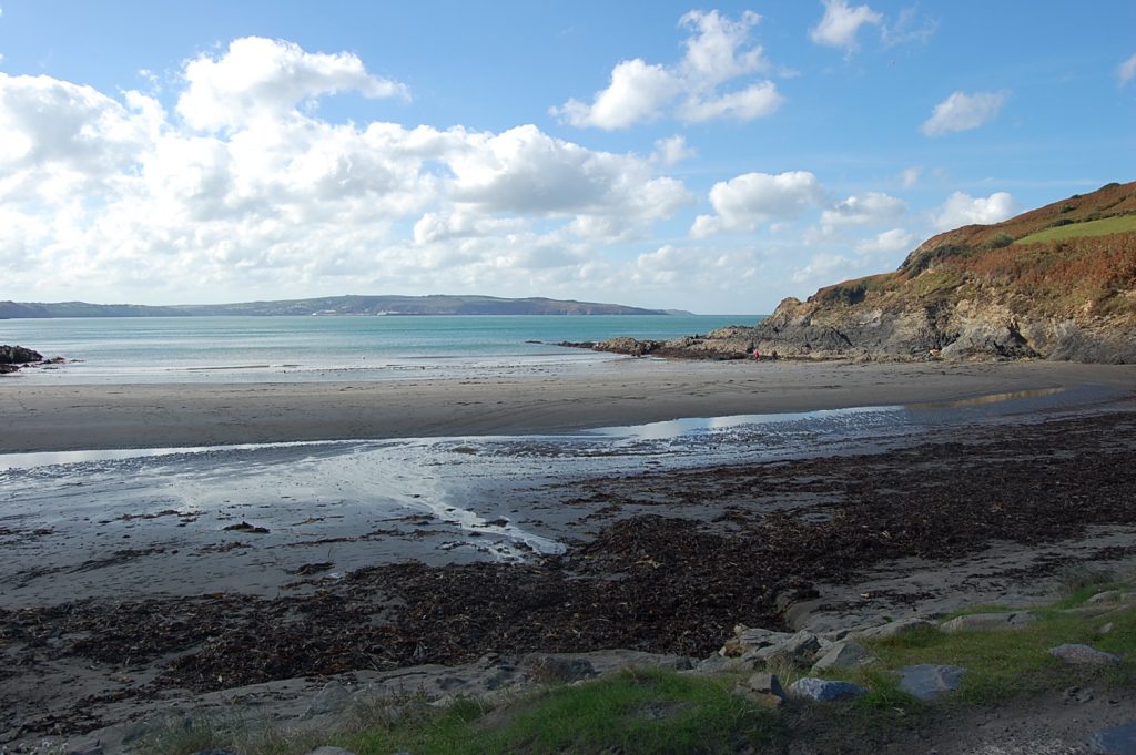
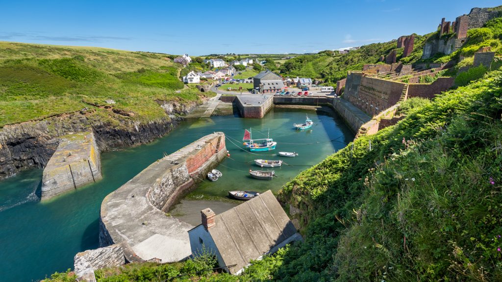
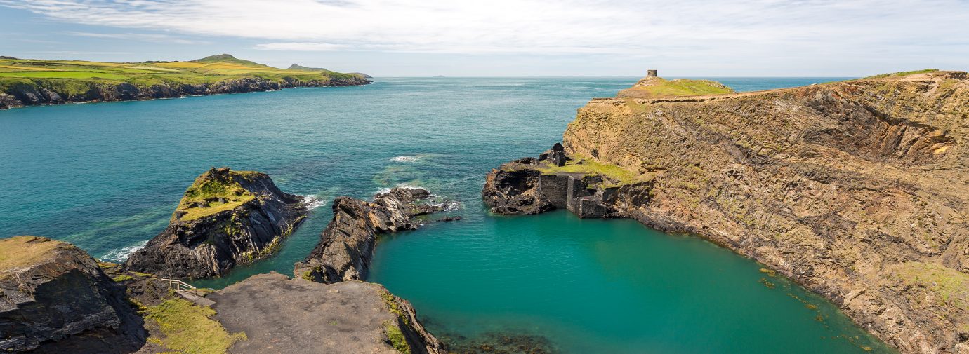
The Blue Lagoon is one of the best examples in Pembrokeshire of a sea quarry. Formed when the sea floods old quarry workings, sea quarries are a feature of this area.
The lagoon has been used as a harbour for fishing boats in the past. Following severe storms in 2014, coastal erosion has reshaped this beach with the shoreline retreating and a stream channel having opened up across the beachhead.
The remains of Abereiddi quarry are owned by the National Trust.
Directions
Leave parking area and follow wide, compacted stone path with an uneven surface to footbridge over stream (footbridge is one metre wide).
Continue along compacted stone path to the end of ruined terrace of cottages. Follow the concrete path uphill. The first 100 metres in gradient varies from 1:9 to 1:11 with seven landings and two passing places.
From the bench the path gradually becomes level, passing through a gate with trombone handle which opens towards the coast. The path continues to a crest with a short ascent of 1:14 where the concrete surface ends.
The path now descends towards the disused quarries on an uneven surface of compacted and loose slate for 70 metres with a general gradient of 1:14 to a level platform and viewing area.
The viewing area has unguarded cliff edges. (Please note that the footbridge to a second platform is not suitable for wheelchair access due to the steep, unguarded ramps either side of the bridge).