Easy access walk: 0.6 miles (1.0 km)
Adventure walk: 1.9 miles (3.1 km)
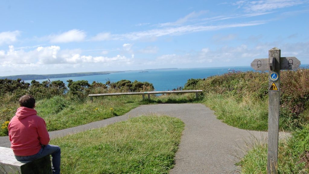
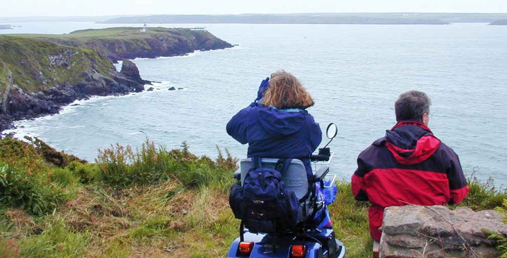
Character: Magnificent views over Milford Haven waterway towards Angle. Path to coast is level and surfaced; the rest are natural surfaces with some gradients.
How to get there
Public transport: Puffin Shuttle (wheelchair accessible)
Own transport: South West Pembrokeshire; 3 miles West of the town of Milford Haven. Approach via the A4076 trunk road and the Herbrandston/St Ishmaels minor road. There is a small parking area at the start of the walk.
Toilets: At start of walk (seasonal).
Further facilities: There is a children’s playground and a picnic area at the start of the walk.
The first part of this walk, from the car park to first viewpoint on the Coast Path, has been Tarmacked.
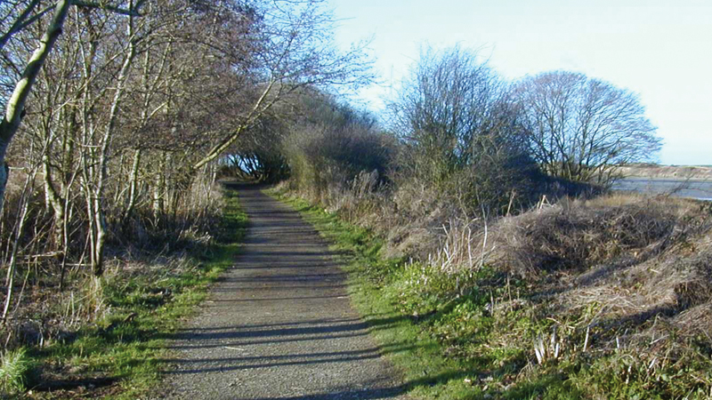
The walk along the Coast Path is on natural surfaces, though gradients and cross gradients are minimal.
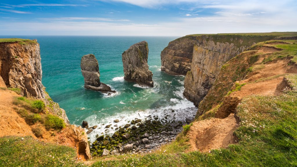
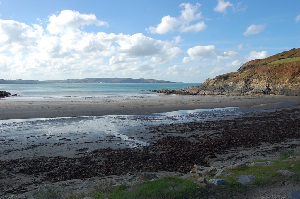
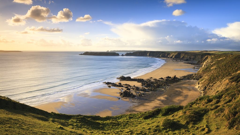
Along the route are excellent views of Milford Haven waterway. A superb natural harbour, the waterway has been busy with shipping over many centuries.
Medieval traders sailed from here to ports in England and France; ships were built for the Royal Navy at Milford Haven and later at Pembroke Dock, and it was a forming up point for Atlantic convoys in World War II.
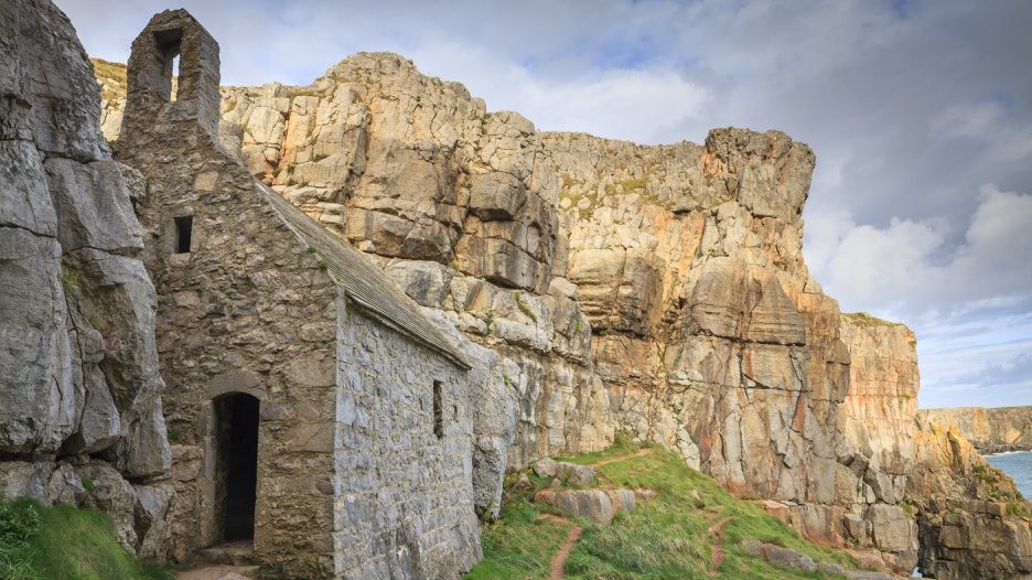
In Pembrokeshire, Iron Age settlements often go hand in hand with good views like the one at Great Castle Head.
The fort is thought to be more than 2,000 years old and was a defensive feature, a settlement, or perhaps both.
As you walk, look out for seabirds and for farmland species like the yellowhammer – a yellow, sparrow-sized bird often seen in summer singing its heart out from a hedge top.
Directions
Go though the gate to the side of the public toilets and follow the path through another gate into the playing fields. Where the path turns right there is a 1:10 gradient for 6 metres.
Stay on surfaced path until reaching the viewpoint. This is the end of the Easy Access Walk, retrace steps to return to starting point.
For the Adventure Walk, turn left onto the Coast Path and follow it. At the access to the beach (steep with steps) there is a 1:8 to 1:6 gradient down for 8 metres and a 1:9 to 1:7 gradient up for 3 metres.
Further along the gradients are 1:10 for 6 metres and 1:10 to 1:7 for 9 metres; this section is also uneven.
There is a short 1:6 gradient for 2 metres where the path joins a track. Turn right onto the track and follow it to the remnants of the ramparts of the Iron Age fort.
Retrace steps to return to starting point.