Easy access walk: 0.8 miles (1.3 km)
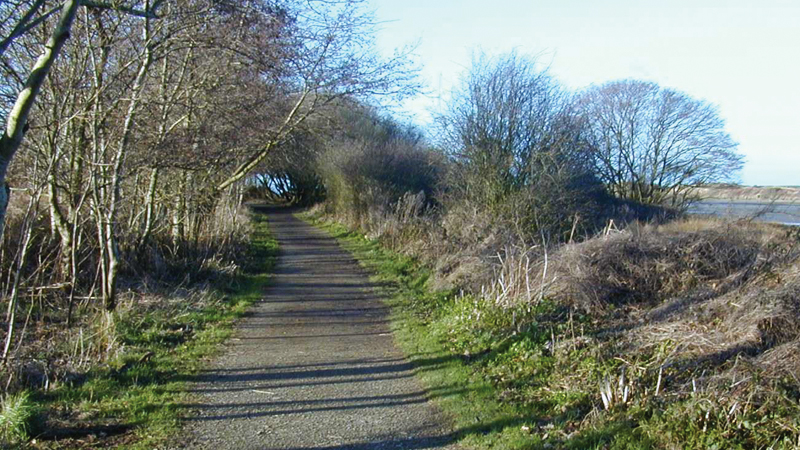
Character: Gentle walk mostly on surfaced paths along Newport Bay. Great views of estuary and coast.
Toilets: At Newport Parrog car park.
Please note: This walk can only be undertaken at low tide, so please check the tide table before venturing out.
How to get there
Public transport: Please refer to Pembrokeshire County Council website
Own transport: North Pembrokeshire; in the town of Newport. Approach via the A487 trunk road and follow signs to the Parrog car park.
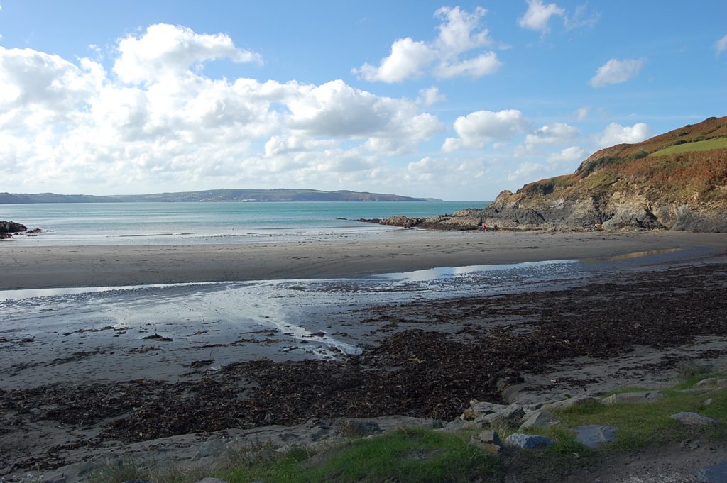
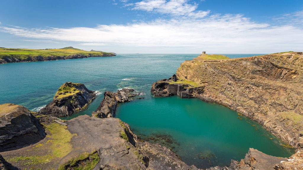
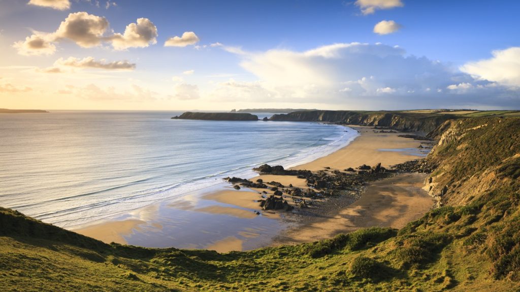
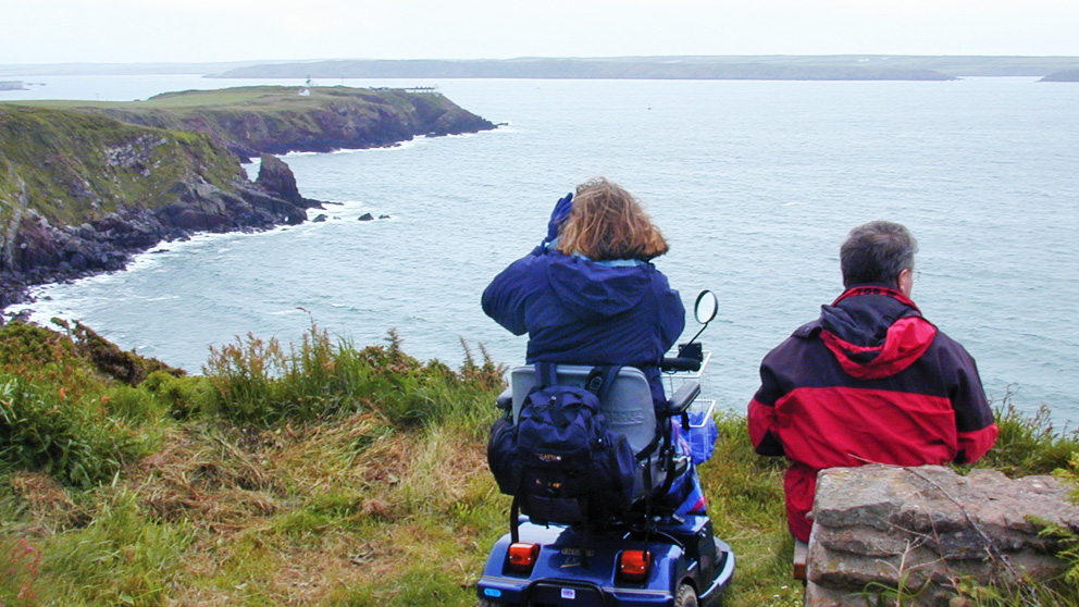
This walk follows the southern edge of Newport Bay from Newport Parrog out towards the sea. There are great views across Newport Sands to the cliffs on the other side of the bay.
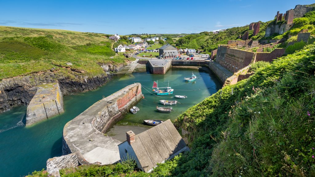
Newport Parrog used to be a busy harbour. More than 50 sailing vessels were built alongside the Nevern estuary, and local merchants had shares in dozens of ships which traded along the Irish Sea and further afield.
One of the old storehouses on the Parrog has been preserved as the home of the town’s boat club.
Directions
Turn right out of the car park and go up ramp on right (1:8 gradient for 7 metres) onto causeway and down (up to 1:8 gradient for 6 metres) onto paved path.
Follow path in front of houses. There is a short 1:10 cross gradient where path bears right.
When path reaches Rock House (up to 1:7 gradient for 7 metres) turn right then left onto the foreshore and join the path for a short distance.
The walk enters the foreshore again, and although the sand is firm there is a cross gradient of up to 1:15 (depending on the season) for 23 metres.
There is a short 1:8 ramp up from the foreshore for 2 metres, after which the path goes steadily uphill (1:15 gradient for 30 metres then 1:8 for 20 metres and finally 1:15 for 23 metres) after which it levels out.
Keep following obvious Coast Path. After the second seat the path goes downhill with two 1:6 sections: the first one for 14 metres and the second one for 5 metres. After this the path goes uphill (47 metres at a 1:10 to 1:7 gradient, then 10 metres at 1:15 ).
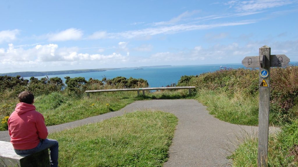
The path is now level and continues to a seating area and viewpoint. Retrace steps.