Easy access walk: 0.8 miles (1.3 km). Adventure walk: 2.1 miles (3.4 km)
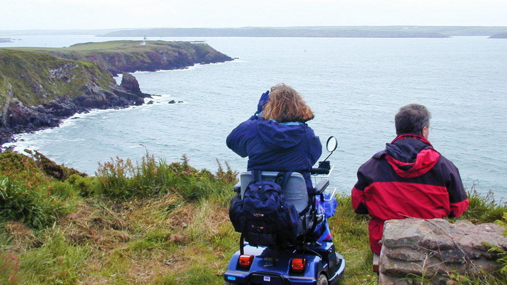
Character: Walk along the Coast Path with stunning views. First part (easy access walk) is surfaced, the rest on natural surfaces, including grass, with steep gradients.
Toilets: No toilets. Nearest toilets at Broad Haven car park (seasonal, 2 miles) and Nolton Haven car park (1.5 miles).
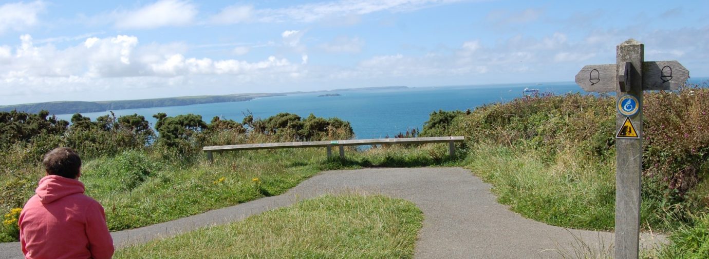
Please note: There is a large stone slab at the second viewpoint which serves as an informal seat.
How to get there
Public transport: Puffin Shuttle (wheelchair accessible)
Own transport: South Pembrokeshire; 8 miles west of Haverfordwest. Approach via the B4341 road. Small car park at start of walk reserved for Blue Badge holders.
The first part of this walk (to the second viewpoint) is the easy access walk: it has a Tarmac surface and seats along the way. The rest of the walk (beyond the second viewpoint) is on natural surfaces, with some ruts and steep gradients.
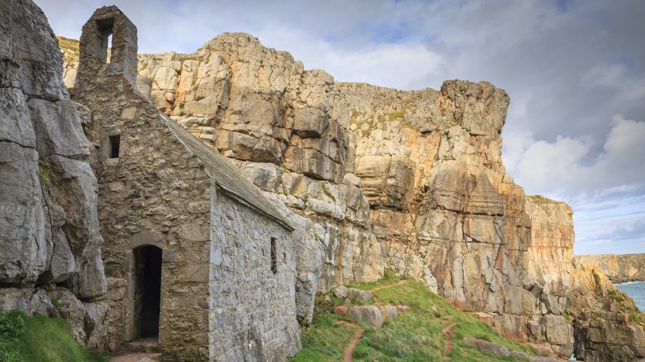
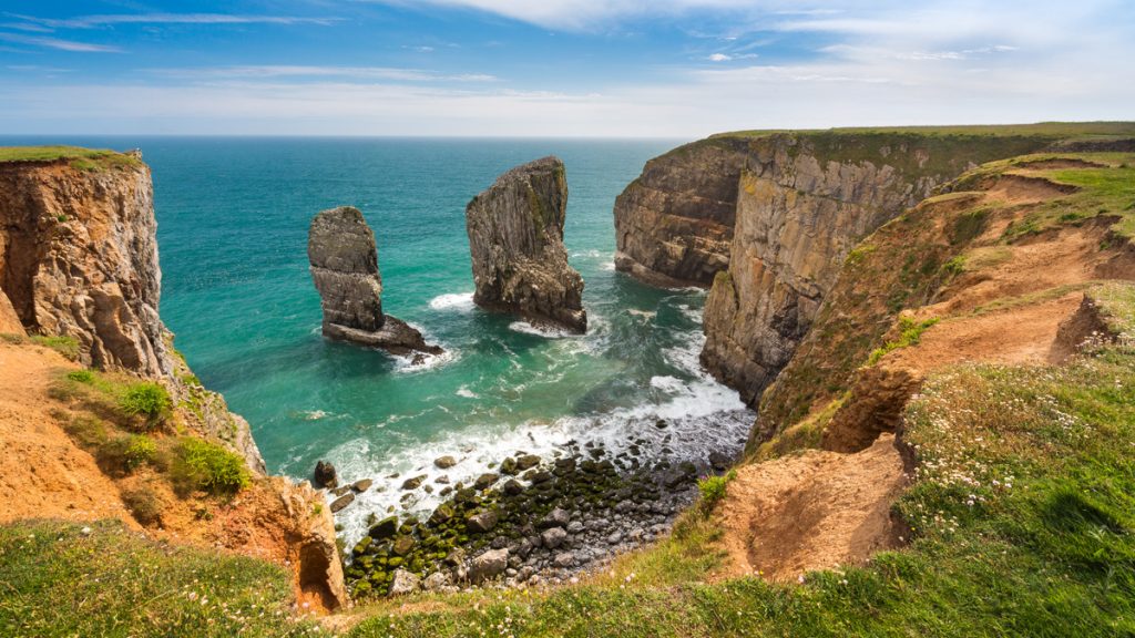
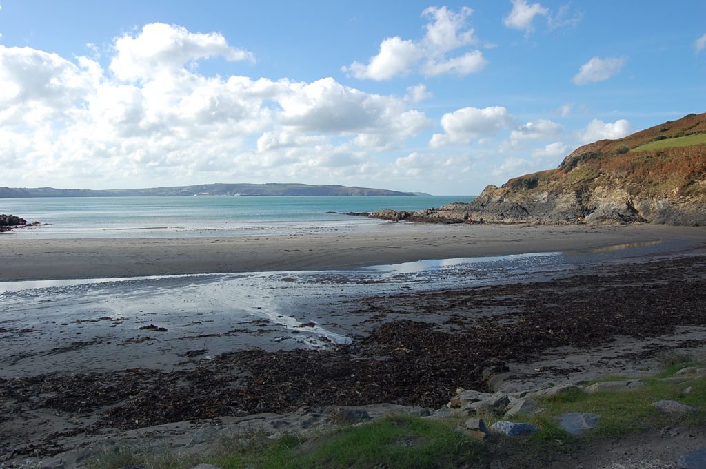
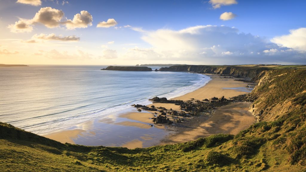
There are magnificent views over St Brides Bay: to the north the rugged coastline to Rickets Head, the St Davids Peninsula and Ramsey Island, and to the south towards Skomer Island.
On clear days you can also see the island of Grassholm in the west; the gannets nesting on the island cover it in guano, giving it the white colour in summer.
As you return along the surfaced path, you can see impressive vertical cliffs of black shale topped by a thick layer of sandstone.
Directions
Leave car park on path towards the sea. Follow path around first viewpoint onto the Coast Path. A little way beyond the third seat there is a 1:15 gradient for 10 metres.
For second viewpoint follow surfaced path to right. Retrace steps if only doing the easy access walk.
For Adventure walk, walk back from second viewpoint for a few metres and get back onto the Coast Path by taking the path on the right. Follow it downhill (1:12 to 1:6 gradient for 20 metres), then up (1:8 gradient for 6 metres).
After going through a gate and before reaching the next seat, there are two steep downhill sections (up to 1:8 for 8 metres, then 1:8 to 1:6 for 13 metres), followed by a short uphill section (1:8 for 6 metres). The seat is set back inland from the path.
After the seat there is a steep downhill section towards the sea (1:8 to 1:6 for 32 metres), followed by a slightly gentler downhill slope (1:9 to 1:6 for 25 metres).
The path then rises again with two steep sections (1:9 for 5 metres and 1:9 to 1:7 for 54 metres) to a gate.
After the gate the path goes gently downhill. The walk finishes at a large white rock, giving good views of the Iron Age fort. Retrace steps.