Mostly not in the National Park due to the proximity to the industry associated with the Haven. Still a very interesting walk, rich in history, environmental and agricultural interest. Pembroke and its castle are well worth a look around. Because of shelter from coastal winds this stretch includes many sections of woodland.
1. Neyland through Pembroke Dock 4.1 Miles (6.44km)
Mainly road section with good views of the estuary. Pavements or cycleway throughout. Two fairly steep hills, 13 steps in Neyland Woods, no stiles or gates.
Walk Difficulty: Road
Walking Access Point
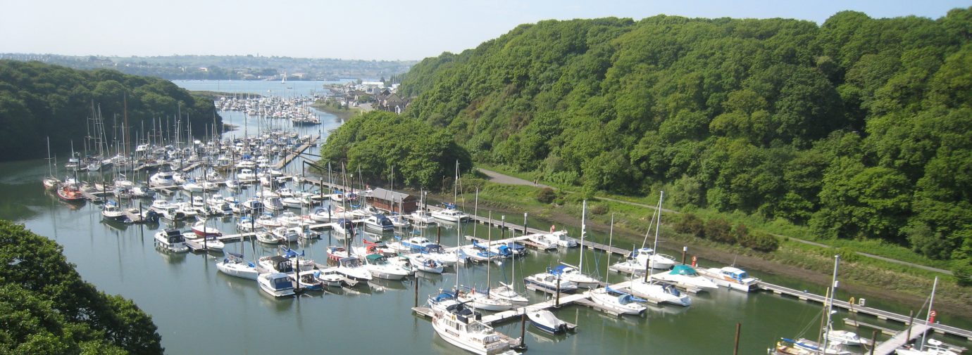
Neyland Marina Wheelchair Route (Grid ref: SM96740528)
Neyland Marina SM 967048 to Johnston SM 934105 Asphalt surfaced cycle track on old railway line, through wooded valley, part nature reserve. Occasional seats. Limited parking at each end. WC near the Marina. Slight to moderate gradient downhill from Johnston. Maintained by Pembrokeshire County Council. Adventure 7km.
Caution
Neyland Marina Alternative Route (Grid ref: SM96740528)
Some maps and guides show a route using the cycle track alongside the Marina – a pleasant unofficial route. This route also involves a very steep hill and crossing a fast, busy trunk road.
Caution
Cleddau Bridge (Grid ref: SM97390496)
The Coast Path crosses this high bridge. During severe winds the bridge is closed to all traffic including walkers!
Information
Cleddau Bridge to Pemboke Alternative Route (Grid ref: SM97570433)
Some maps and guides show the route as following the main road between the Cleddau Bridge and Pembroke. However the official route takes in the interesting features of Pembroke Dock.
Caution
Route finding through towns (Grid ref: SM97000379)
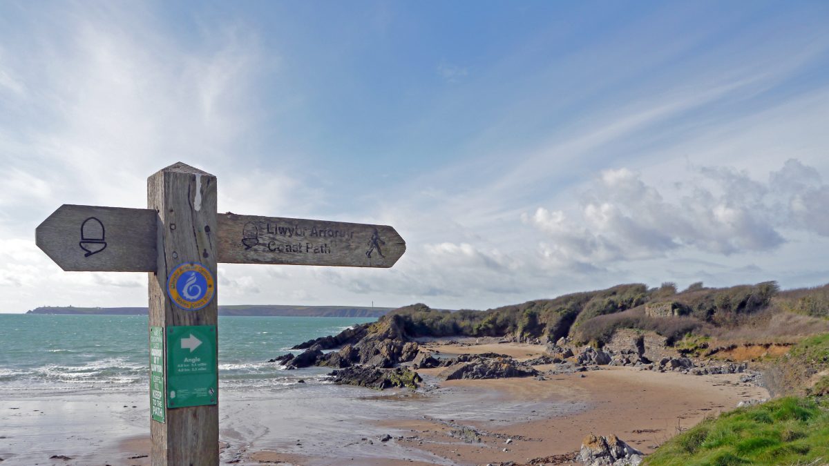
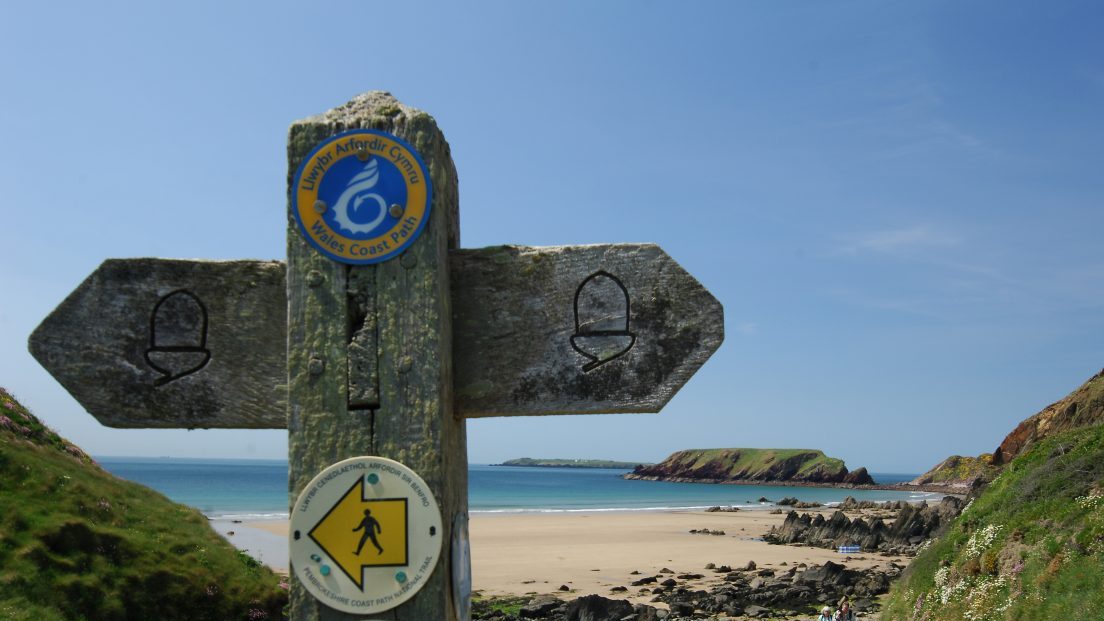
This National Trail does not have a designated route through the larger towns, the maps and guides show various recommended routes, but the walker will choose the route that suits, depending on their need for accommodation and supplies. A route has been way-marked through the towns with acorn markers stuck to lampposts and road signs, usually high up, however these are vulnerable to both vandals and new paint. Use of a map is advised. From Easter 2009 brown signs with the acorn on will be added to street signposts etc, look out for these now between Monkton, Pembroke and Gelliswick. Also look out for the acorn symbol on the County Council’s green footpath signs.
Information
Llanion Park (Grid ref: SM97160411)
This impressive red brick building used to be the army garrison HQ. Now the home of the National Park Authority. If you have any comments (positive or negative) with using the National Trail feel free to call in and leave them with our reception team who will make sure they are passed to the right person.
Information
Pembroke Dock (Grid ref: SM96710338)
The new town grew up around its naval dockyard, established in 1814. Pembroke Dockyard became one of the world’s most advanced shipbuilding yards, introducing technological advances and employing 3,000 men. Over 260 warships and every royal yacht except Britannia were built here and a military garrison defended the dockyard. The dockyard’s closure in 1926 caused great economic hardship. All three armed services have a connection – famous Army regiments were garrisoned here and RAF flying-boats operated from the sheltered waters, helping to win the Battle of the Atlantic. The town’s unique military history is reflected in a museum housed in the lovingly restored dockyard chapel, now The Pembroke Dock Heritage Centre., which is well worth a visit. The town is an Irish ferry port.
Facilities
Pembroke Dock (Grid ref: SM96710338)
Modest town with a wide range of services. Plenty of shops, supermarkets, banks, pubs, restaurants and accommodation.
Worth a look
‘Martello’ Gun Tower (Grid ref: SM96400383)
Martello Tower a defensive structure (built of the local limestone).
Worth a look
Royal Naval Dockyard (site) (Grid ref: SM96130357)
High walls and impressive imperial buildings built of local limestone housed the dockyard and later the flying boat squadron in World War II.
Worth a look
The Defensible Barracks (Grid ref: SM9060308)
The Coast Path passes the front door of this impressive squat fort (privately owned) that used to house the troops for the gun batteries defending the docks.
2. Pembroke Dock to Pembroke 1.6 Miles (3.22km)
The Coast Path strikes across farmland, often with cattle, sometimes with mud. Offering occasional elevated views of Pembroke River, and the magnificent Pembroke Castle. Modest gradients, one stile, one squeeze stile, five kissing gates, two wicket gate, four steps.
Walk Difficulty: Stiles or flights of steps or steep hills
Walking Access Point
Imble Lane (Grid ref: SM97300228)
A bridleway joins here, leading to a minor road, offering a circular walk based on Pembroke Dock.
3. Pembroke to Quoit’s Mill 1.3 Miles (1.61km)
A road section. Pavements through Pembroke and Monkton. A short section of very minor road with no pavement at Quoits mill, flooded by spring tides.
Walk Difficulty: Road
Facilities
Pembroke Town (Grid ref: SM98300148)
Modest town with a wide range of services. Plenty of shops, banks, pubs, restaurants and accommodation.
Worth a look
Pembroke Town (Grid ref: SM98300148)
The town of Pembroke extends along a narrow limestone ridge, which in the past was protected on three sides by water. The Normans recognised its defensive potential and built a wooden castle here in the late 11th century. Rebuilt in stone, with a magnificent keep, the castle became the seat of the earldom of Pembroke. Henry Tudor, later to become Henry VII, was born here in 1457. Pembroke was Parliament’s main base in west Wales during the English Civil War, until its defenders unexpectedly changed sides. They surrendered to Oliver Cromwell after a six-week siege in 1648. There are fine Georgian and Victorian houses in Main Street and sections of the medieval town walls remain.
Information
Tidal Mill (Grid ref: SM98330164)
Site of water mill powered by tidal current. There is an intact example at Carew.
Worth a look
Pembroke Castle (Grid ref: SM98150163)
Medieval and more recent seat of power.
Walking Access Point
Pembroke Castle Wheelchair Path (Grid ref: SM98320160)
Pembroke Castle SM 983016 to 981015. Gradients to BT standard; cross fall is negligible. Tarmac, seats. Further 1.6km around the Millpond. Accessible toilets at The Commons (on other side of town, near Tourist Information Centre). Wheelchair 0.6 km. A short section floods on spring tides.
4. Quoits Mill to Pwllcrochan 5.1 Miles (8.05km)
The Coast Path follows field-edge and woodland footpaths with short sections of very minor road. Mostly gentle gradients except for steep and sometimes muddy paths through woodland between Goldborough and Lambeeth. Four stiles (the stiles have no provision for dog access), five kissing gates, 20 wicket gates, two field gates, 10 steps. Fine elevated views across a landscape dominated the new gas-fired power station.
Walk Difficulty: Stiles, long flights of steps, gradients up to 1:1
Walking Access
Point Bentlass (Grid ref: SM96160137)
Junction with very minor road, no parking, access by road to Hundleton.
Walking Access Point
West Grove (Grid ref: SM95750138)
Junction with very minor road, no parking, access by road to Hundleton (0.5 miles up hill).
Facilities
Highgate Inn Hotel Hundleton (Grid ref: SM95970054)
B&B, food & beer.
Car Park / Public Transport Access
Hundleton Bus Stop (Grid ref: SM96100066)
Bus stop (Coastal Cruiser – thrice daily return – Pembroke, Freshwater East, Bosherston, Angle, Pembroke). There are no car parks between Pembroke and the Power Station site, it is very hard to access the Coast Path by car.
Walking Access Point
Brownslate (Grid ref: SM95550068)
Junction with very minor road, no parking, access by road to Hundleton (0.3 miles, level). This road can be used as an alternative foul weather route to (East) Angle Bay
Car Park / Public Transport Access
Power Station Car Park (Grid ref: SM92540231)
Junction with minor road to disused power station site. Large, free, informal car park – now overgrown.
5. Pwllcrochan to Fort Popton 2.1 Miles (3.22km)
The Coast Path traverses thickly wooded coastal slopes, steep in places. The route crosses Bullwell Bay, a stony beach, flooded briefly on the highest spring tides. 2 stiles, 0 steps. This section is dominated by the larger of the two remaining oil refineries and passes closest to the operational area of the oil and LNG tankers. It provides the opportunity to watch the movements of these enormous ships. Frequent excellent views across to Milford and up and down the waterway.
Walk Difficulty: Stiles, long flights of steps, gradients up to 1:1
6. Fort Popton to Angle Village 3.6 Miles (6.44km)
The eastern section follows a wide, private, refinery road, usually quiet. The central section is a low cliff path with many gates. The western section is on a very quiet private, estate road. 12 wicket gates, no stiles or steps.
Walk Difficulty: No man made obstructions to wheelchairs, ground conditions vary
Worth a look
Fort Popton and Battery (Grid ref: SM89370374)
Fort Popton is another of the Victorian forts, with a battery just off the Path towards the Point.
Car Park / Public Transport Access
Rhoscrowther Parking (Grid ref: SM89760205)
Parking for up to six cars. The gate at the end of the private road is often locked without warning – do not drive towards Popton. No bus link.
Walking Access Point
Rhoscrowther (Grid ref: SM89760205)
Rhoscrowther to Fort Popton. Usually very quiet private road, sometimes busy with construction traffic. A steep hill up to Fort Popton.
Walking Access
Point Lodge, Angle Bay (Grid ref: SM87530216)
No parking. Junction with the end of a minor road, link this via Bangeston and the Rocket Cart House public footpath to Freshwater West to enable a full day circular walk of Angle Peninsula.
Walking Access Point
Angle Hall Drive Wheelchair Route (Grid ref: SM86900270)
Angle Hall Drive, SM 869027 to SM 875021. Private road in good condition with only very occasional traffic. No discernible gradient or cross fall. One seat. Views across the Bay. In the driest weather the field edge Coast Path to the east may be negotiable by some cross-country chairs (help would be needed with the dozen gates). Toilets at Freshwater West (not nearby). Wheelchair 800m.
VIEW THIS SECTION ON STREET VIEW
Neyland (Grid ref: SM966048)
Follow the Coast Path Safety Code
- Take care on the Coast Path - it's rugged, natural terrain.
- Keep to the path, away from cliff edges and overhangs.
- Always supervise children, especially near cliff edges.
- Walking surfaces can vary considerably with the weather. Always wear strong footwear with a good grip and ankle support.
- Wear or carry warm and waterproof clothing.
- Cliff-top walking can be dangerous in high winds.
- Beware of taking shortcuts across beaches - you may be cut off by the tide. Swimming can also be dangerous.
- Do not sit under cliffs or climb them.
- Keep dogs under close control.
- The Coast Path is for walkers. It is not safe or lawful to ride horses or cycle along most of the Coast Path.
- Leave gates and property as you find them.
- Note that mobile phone coverage is unreliable on the coast.