This supplementary planning guidance explains the method, gives an overview of the seascape, sets out the cultural benefits and services, the forces for change and the key sensitivities. This Supplementary Planning Guidance was adopted at the National Park Authority meeting of the 20th of September 2023.
The supplementary planning guidance should also be read in conjunction with the National Park Management Plan and with other guidance and baseline information including the National Park Authority’s Landscape Character Assessment (2011), rolled over for Local Development Plan 2. It should also be read in conjunction with the Policies of Pembrokeshire County Council’s adopted Local Development Plan (LDP 1).
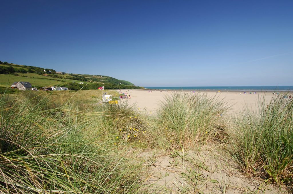
Seascape Character Supplementary Planning Guidance
Seascape Areas 41 to 44 |
| SCA41 Carmarthen Bay north – Pendine |
| SCA42 Carmarthen Bay |
| SCA43 Bristol Channel offshore |
| SCA44 Western offshore |